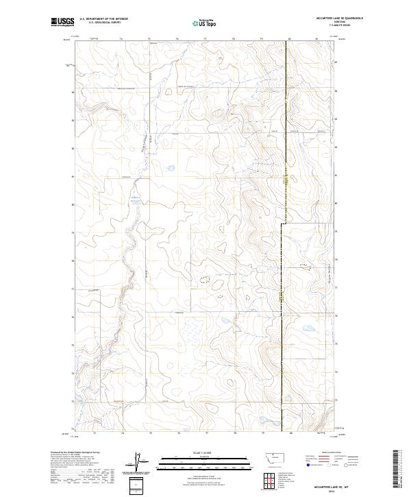
2024 Map of McCarters Lake SE
USGS Topo · Published 2024About this map
Green Hill School E stands as a focal point in this high plains landscape on the border of Toole and Liberty Counties. The area is defined by a sparse network of section-line roads, including Green Hill School Rd, Galata Rd, and Jap Evans Rd, which facilitate movement between rural homesteads and agricultural operations. Water management is critical in this environment, evidenced by the Childrers Reservoir and natural drainage patterns like Kinyon Coulee and Galata Ravine. These features illustrate the practical adaptation of settlers to the semi-arid northern Montana climate. The survey captures the Township and Range grid system in detail, showing the intersection of T32N and T33N across the county line, providing a clear record of land division and rural infrastructure as it exists today.
Find a feature on this map
20 named features on this map. Tap any name to fly to it.
Don’t see what you’re looking for? This feature index may not catch every label — zoom into the map to look around manually.
Map Details
Editions of this 2024 McCarters Lake SE Map
This is the sole edition of this map. No revisions or reprints were ever made.
Other maps of this area

1954 · Shelby
USGS Topo · 1:250,000

1958 · Shelby
USGS Topo · 1:250,000

1962 · North Lothair School
USGS Topo · 1:24,000

1962 · Hawthorne School
USGS Topo · 1:24,000

1962 · Berkholder Reservoir
USGS Topo · 1:24,000

1962 · Mc Carters Lake
USGS Topo · 1:24,000

1962 · Blair Ranch
USGS Topo · 1:24,000

1962 · Mc Carters Lake SE
USGS Topo · 1:24,000

1970 · Devon
USGS Topo · 1:24,000

1970 · Galata
USGS Topo · 1:24,000