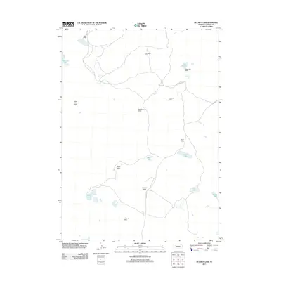
2011 Map of McCarty Lake
USGS Topo · Published 2011About this map
The Nebraska Sandhills in Garden County reveal a specialized landscape of drainage and depression in this 2011 survey. The terrain is defined by a series of northwest-to-southeast trending valleys, many bearing family names that suggest a history of ranching and settlement, including Tree Claim Valley, Scheffenburg Valley, and Lotspeich Valley. These basins are interspersed with numerous small lakes and marshes, such as Townsend Lake in the northwest and Galdon Lake in the southeast, which are critical water sources in this semi-arid region.
Find a feature on this map
20 named features on this map. Tap any name to fly to it.
Don’t see what you’re looking for? This feature index may not catch every label — zoom into the map to look around manually.
Map Details
Editions of this 2011 McCarty Lake Map
This is the sole edition of this map. No revisions or reprints were ever made.
Other maps of this area

1948 · Bingham
USGS Topo · 1:62,500

1948 · Lakeside
USGS Topo · 1:62,500

1949 · Mumper
USGS Topo · 1:62,500

1950 · Longfellow Lake
USGS Topo · 1:62,500

1950 · Lakeside
USGS Topo · 1:62,500

1950 · Bingham
USGS Topo · 1:62,500

1954 · Scottsbluff
USGS Topo · 1:250,000

1955 · Alliance
USGS Topo · 1:250,000

1957 · Alliance
USGS Topo · 1:250,000

1958 · Alliance
USGS Topo · 1:250,000