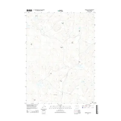
2014 Map of McCarty Lake
USGS Topo · Published 2014About this map
Wild Horse Flats and a series of distinct valleys define this interior portion of Garden County, where the landscape is dotted with shallow lakes and depressions. The presence of features like Tree Claim Valley and Scheffenburg Valley reflects the region's heritage of early land claims and ranching settlements. The hydrography of the area is particularly noteworthy, with numerous named water bodies such as Townsend Lake, McCarty Lake, and E Kincaid Lake clustered among the undulating terrain.
Find a feature on this map
25 named features on this map. Tap any name to fly to it.
Don’t see what you’re looking for? This feature index may not catch every label — zoom into the map to look around manually.
Map Details
Editions of this 2014 McCarty Lake Map
This is the sole edition of this map. No revisions or reprints were ever made.
Other maps of this area

1948 · Bingham
USGS Topo · 1:62,500

1948 · Lakeside
USGS Topo · 1:62,500

1949 · Mumper
USGS Topo · 1:62,500

1950 · Longfellow Lake
USGS Topo · 1:62,500

1950 · Lakeside
USGS Topo · 1:62,500

1950 · Bingham
USGS Topo · 1:62,500

1954 · Scottsbluff
USGS Topo · 1:250,000

1955 · Alliance
USGS Topo · 1:250,000

1957 · Alliance
USGS Topo · 1:250,000

1958 · Alliance
USGS Topo · 1:250,000