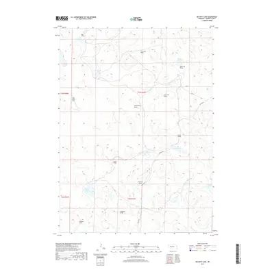
2017 Map of McCarty Lake
USGS Topo · Published 2017About this map
McCarty Lake and a dense network of seasonal basins define this portion of the Nebraska Sandhills. The landscape is a complex arrangement of dry valleys and isolated wetlands, where names like Wild Horse Flats and Hog Valley suggest a long history of ranching and livestock movement. Many of these features carry the surnames of early settlers, such as Scheffenburg Valley, Lotspeich Valley, and Warneke Valley, providing valuable geographic markers for genealogists tracing family landholdings in Garden County.
Find a feature on this map
26 named features on this map. Tap any name to fly to it.
Don’t see what you’re looking for? This feature index may not catch every label — zoom into the map to look around manually.
Map Details
Editions of this 2017 McCarty Lake Map
This is the sole edition of this map. No revisions or reprints were ever made.
Other maps of this area

1948 · Bingham
USGS Topo · 1:62,500

1948 · Lakeside
USGS Topo · 1:62,500

1949 · Mumper
USGS Topo · 1:62,500

1950 · Longfellow Lake
USGS Topo · 1:62,500

1950 · Lakeside
USGS Topo · 1:62,500

1950 · Bingham
USGS Topo · 1:62,500

1954 · Scottsbluff
USGS Topo · 1:250,000

1955 · Alliance
USGS Topo · 1:250,000

1957 · Alliance
USGS Topo · 1:250,000

1958 · Alliance
USGS Topo · 1:250,000