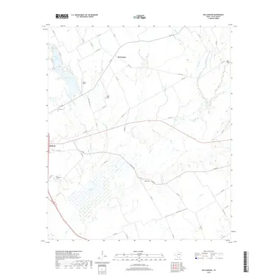
2019 Map of McClanahan
USGS Topo · Published 2019About this map
Mcclanahan and the surrounding Falls County countryside are defined by a network of creeks and small farming communities east of the Brazos River valley. The landscape transitions from the residential fringes of Marlin to the rolling agricultural lands around Bald Hill. Water management is central to the area's development, evidenced by the proximity of Marlin City Lake and New City Lake, which serve the nearby population center.
Find a feature on this map
57 named features on this map. Tap any name to fly to it.
Don’t see what you’re looking for? This feature index may not catch every label — zoom into the map to look around manually.
Map Details
Editions of this 2019 McClanahan Map
This is the sole edition of this map. No revisions or reprints were ever made.
Other maps of this area

1954 · Waco
USGS Topo · 1:250,000

1955 · Waco
USGS Topo · 1:250,000

1957 · Otto
USGS Topo · 1:24,000

1957 · McClanahan
USGS Topo · 1:24,000

1957 · Riesel
USGS Topo · 1:24,000

1957 · Marlin
USGS Topo · 1:24,000

1962 · Reagan
USGS Topo · 1:24,000

1962 · Cedar Springs
USGS Topo · 1:24,000

1962 · Bremond
USGS Topo · 1:24,000

1965 · Kosse West
USGS Topo · 1:24,000