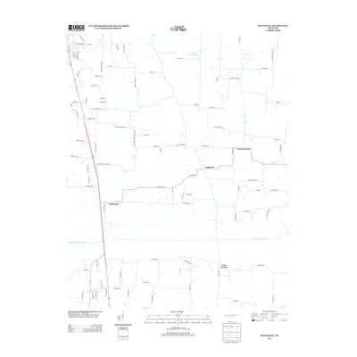
2013 Map of McConnell
USGS Topo · Published 2013About this map
McConnell and Ruthville anchor this rural landscape in West Tennessee, where small settlements are connected by a dense web of country roads and family-named thoroughfares. The terrain is defined by the North Fork Obion River, which meanders through the southern half of the quadrangle, flanked by tributaries like Sandy Br and Vowell Br. In the northeast, the waters of Harold Muzzall Lake sit near the intersection of several local routes, while the community of Chestnut Glade marks the eastern boundary.
Find a feature on this map
91 named features on this map. Tap any name to fly to it.
Don’t see what you’re looking for? This feature index may not catch every label — zoom into the map to look around manually.
Map Details
Editions of this 2013 McConnell Map
This is the sole edition of this map. No revisions or reprints were ever made.
Other maps of this area

1950 · Martin
USGS Topo · 1:24,000

1952 · Crutchfield
USGS Topo · 1:24,000

1952 · Dresden
USGS Topo · 1:24,000

1952 · Cuba
USGS Topo · 1:24,000

1952 · Water Valley
USGS Topo · 1:24,000

1952 · Mayfield
USGS Topo · 1:62,500

1952 · Water Valley
USGS Topo · 1:62,500

1956 · Gardner
USGS Topo · 1:24,000

1956 · Harris
USGS Topo · 1:24,000

1956 · Mc Connell
USGS Topo · 1:24,000