
1956 Map of Harris
USGS Topo · Published 1958About this map
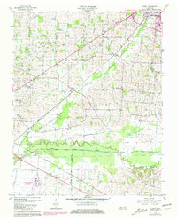
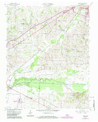
The North Fork Obion River meanders across this West Tennessee landscape, marking the boundary between Obion Co and Weakley Co. In the mid-1950s, the region was defined by a strong rail-and-river infrastructure, with the Illinois Central and Nashville Chattanooga and St Louis railroads facilitating movement between small hubs like Pierce Station and Terrell. Notable for local genealogists and historians is the documentation of several family burial grounds and the Morris Slave Cem, which provides significant historical context for the area's antebellum roots. Away from the river bottomlands, the map reveals a rural community supported by a network of country churches, including Johnsons Grove Ch and Chapel Hill Ch, alongside local aviation at Tom Stewart Airport and community entertainment at multiple drive-in theaters.
Find a feature on this map
26 named features on this map. Tap any name to fly to it.
Don’t see what you’re looking for? This feature index may not catch every label — zoom into the map to look around manually.
Map Details
Editions of this 1956 Harris Map
3 editions found
Other maps of this area

1939 · Hickman
USGS Topo · 1:62,500

1950 · Martin
USGS Topo · 1:24,000

1950 · Rives
USGS Topo · 1:24,000

1951 · Rives
USGS Topo · 1:24,000

1951 · Cayce
USGS Topo · 1:24,000

1952 · Crutchfield
USGS Topo · 1:24,000

1952 · Water Valley
USGS Topo · 1:24,000

1952 · Water Valley
USGS Topo · 1:62,500

1954 · Union City
USGS Topo · 1:24,000

1954 · Hickman
USGS Topo · 1:62,500