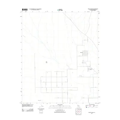
2012 Map of McCoy Wash
USGS Topo · Published 2012About this map
Palo Verde Mesa defines the arid landscape of this Riverside County region, where the desert floor is carved by the ephemeral drainage of McCoy Wash. The area showcases a transition from open desert to organized agricultural and residential grids, particularly evident in the settlement of Mesaville and the systematic layout of numbered avenues and named boulevards. Aviation plays a significant role in the local infrastructure, with both the Blythe Airport and the W R Byron Airport positioned to serve the community. The northern reach of the map is intersected by Midland Rd, while the eastern portion includes the Blythe Municipal Golf Course, highlighting the recreational and transport network established on the mesa's plateau.
Find a feature on this map
36 named features on this map. Tap any name to fly to it.
Don’t see what you’re looking for? This feature index may not catch every label — zoom into the map to look around manually.
Map Details
Editions of this 2012 McCoy Wash Map
This is the sole edition of this map. No revisions or reprints were ever made.
Other maps of this area

1942 · Blythe
USGS Topo · 1:250,000

1945 · Big Maria Mtns
USGS Topo · 1:62,500

1945 · Midland
USGS Topo · 1:62,500

1951 · Big Maria Mts
USGS Topo · 1:62,500

1951 · Blythe
USGS Topo · 1:24,000

1951 · McCoy Wash
USGS Topo · 1:24,000

1951 · Blythe NE
USGS Topo · 1:24,000

1952 · Midland
USGS Topo · 1:62,500

1952 · Mc Coy Spring
USGS Topo · 1:62,500

1952 · Ripley
USGS Topo · 1:24,000