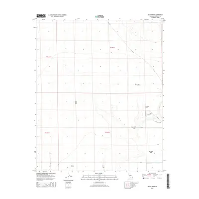
2015 Map of McCoy Wash
USGS Topo · Published 2015About this map
Palo Verde Mesa dominates the central landscape of this Riverside County region, marking the topographic step between the high desert floor and the fertile lowlands of the Palo Verde Valley. The settlement of Mesaville sits along Midland Rd in the north, while the southern reaches of the map show the encroaching development of the valley near the Palo Verde College campus. This area is a significant aviation hub for the eastern California desert, featuring both the large Blythe Airport and the smaller W R Byron Airport. Water management systems essential to the region's agricultural economy are clearly visible, including the W Side Drain and the C-03 Canal. The road network, including Arrowhead Blvd and W Foothill Trl Blvd, illustrates the transition from open mesa to the structured grid of the valley floor.
Find a feature on this map
22 named features on this map. Tap any name to fly to it.
Don’t see what you’re looking for? This feature index may not catch every label — zoom into the map to look around manually.
Map Details
Editions of this 2015 McCoy Wash Map
This is the sole edition of this map. No revisions or reprints were ever made.
Other maps of this area

1942 · Blythe
USGS Topo · 1:250,000

1945 · Big Maria Mtns
USGS Topo · 1:62,500

1945 · Midland
USGS Topo · 1:62,500

1951 · Big Maria Mts
USGS Topo · 1:62,500

1951 · Blythe
USGS Topo · 1:24,000

1951 · McCoy Wash
USGS Topo · 1:24,000

1951 · Blythe NE
USGS Topo · 1:24,000

1952 · Midland
USGS Topo · 1:62,500

1952 · Mc Coy Spring
USGS Topo · 1:62,500

1952 · Ripley
USGS Topo · 1:24,000