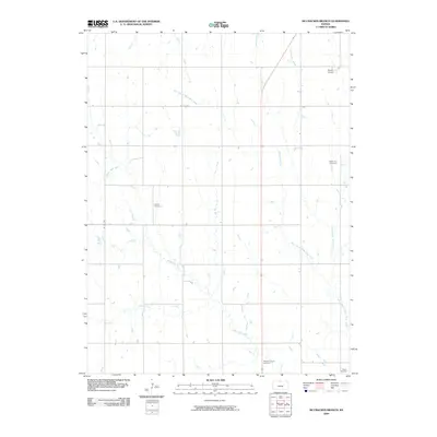
2009 Map of McCracken Branch
USGS Topo · Published 2009About this map
White Rock Creek and its many tributaries, including McCracken Branch and North Branch White Rock Creek, define the drainage patterns across this rural Jewell County landscape. The distribution of small family or community burial sites across the section lines reveals the legacy of early prairie settlement, with Oriole Cemetery and Webb Hill Cemetery serving as key genealogical anchors in the northern half of the map. Further south, Pleasant Plains Cemetery and Salem Cemetery mark the enduring presence of local congregations and homesteading families. While the terrain is primarily agricultural, the inclusion of Shute Airport indicates a modern layer of light aviation alongside traditional rural life. The network of section-line roads, including Co RD 630 and Co RD 1261, provides a structured grid for tracing old farmsteads and field boundaries near Wolf Creek and Pawnee Creek.
Find a feature on this map
13 named features on this map. Tap any name to fly to it.
Don’t see what you’re looking for? This feature index may not catch every label — zoom into the map to look around manually.
Map Details
Editions of this 2009 McCracken Branch Map
This is the sole edition of this map. No revisions or reprints were ever made.
Other maps of this area

1893 · Smith Center
USGS Topo · 1:125,000

1894 · Mankato
USGS Topo · 1:125,000

1897 · Red Cloud
USGS Topo · 1:125,000

1898 · Superior
USGS Topo · 1:125,000

1940 · Red Cloud
USGS Topo · 1:62,500

1942 · Red Cloud
USGS Topo · 1:62,500

1955 · Grand Island
USGS Topo · 1:250,000

1955 · Beloit
USGS Topo · 1:250,000

1957 · Grand Island
USGS Topo · 1:250,000

1958 · Grand Island
USGS Topo · 1:250,000