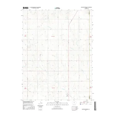
2015 Map of McCracken Branch
USGS Topo · Published 2015About this map
McCracken Br and its surrounding drainage systems define this section of the Kansas plains along the border of Jewell County and Smith County. This rural landscape is primarily organized by a rigid grid of local roads, such as 80 RD and Co RD 334, which connect isolated homesteads and local landmarks. For genealogists and local historians, the map identifies several significant burial sites that serve as anchors for the area's pioneer heritage, including Pleasant Plains Cem, Webb Hill Cem, and Oriole Cem.
Find a feature on this map
30 named features on this map. Tap any name to fly to it.
Don’t see what you’re looking for? This feature index may not catch every label — zoom into the map to look around manually.
Map Details
Editions of this 2015 McCracken Branch Map
This is the sole edition of this map. No revisions or reprints were ever made.
Other maps of this area

1893 · Smith Center
USGS Topo · 1:125,000

1894 · Mankato
USGS Topo · 1:125,000

1897 · Red Cloud
USGS Topo · 1:125,000

1898 · Superior
USGS Topo · 1:125,000

1940 · Red Cloud
USGS Topo · 1:62,500

1942 · Red Cloud
USGS Topo · 1:62,500

1955 · Grand Island
USGS Topo · 1:250,000

1955 · Beloit
USGS Topo · 1:250,000

1957 · Grand Island
USGS Topo · 1:250,000

1958 · Grand Island
USGS Topo · 1:250,000