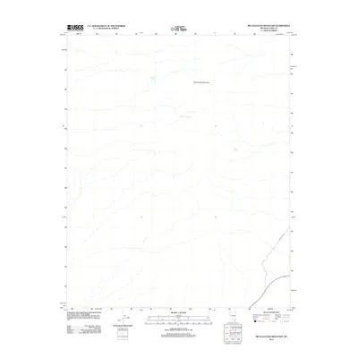
2012 Map of McCullough Mountain
USGS Topo · Published 2012About this map
McCullough Mountain dominates this portion of the range in Clark County, where the high desert landscape is defined by its scarce water sources. The map identifies several vital watering points scattered across the terrain, including Railroad Spring, McCullams Spring, and Pine Spring. These isolated springs traditionally served as critical stops for travelers and livestock moving through the arid basin-and-range country. Near the southeastern corner, the presence of Powerline Rd indicates the intersection of modern infrastructure with this otherwise undeveloped environment. This 2012 survey provides a precise view of the topography and hydrology in an area where every named spring serves as a significant landmark for navigation and survival.
Find a feature on this map
5 named features on this map. Tap any name to fly to it.
Don’t see what you’re looking for? This feature index may not catch every label — zoom into the map to look around manually.
Map Details
Editions of this 2012 McCullough Mountain Map
This is the sole edition of this map. No revisions or reprints were ever made.
Other maps of this area

1910 · Ivanpah
USGS Topo · 1:250,000

1912 · Ivanpah
USGS Topo · 1:250,000

1942 · Ivanpah
USGS Topo · 1:250,000

1947 · Kingman
USGS Topo · 1:250,000

1948 · Kingman
USGS Topo · 1:250,000

1954 · Kingman
USGS Topo · 1:250,000

1955 · Kingman
USGS Topo · 1:250,000

1955 · Roach Lake
USGS Topo · 1:62,500

1956 · Ivanpah
USGS Topo · 1:62,500
1956 · Crescent Peak
USGS Topo · 1:62,500