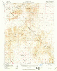
1956 Map of Crescent Peak
USGS Topo · Published 1958About this map
Vanderbilt and several former mining and railroad hubs appear as remnants in the mid-1950s California high desert. This survey documents the transition of the eastern Mojave as early 20th-century booms faded into archaeological sites, including the Hart (Site), Barnwell (Site), and Crescent (Site). The transportation network is dominated by the Old Railroad Grade and the Von Schmidt Line, reflecting the complex history of surveying the border between Nevada and California. Mining history is evidenced by the Crescent Mine and numerous scattered prospects. Cultural history reaches further back with the marking of petroglyphs in the Castle Mountains, while the dependence on groundwater is clear from the many desert water sources like Indian Spring and Burro Springs.
Find a feature on this map
42 named features on this map. Tap any name to fly to it.
Don’t see what you’re looking for? This feature index may not catch every label — zoom into the map to look around manually.
Map Details
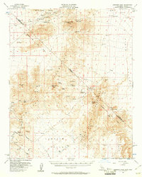
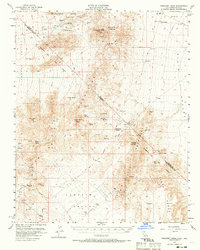
Editions of this 1956 Crescent Peak Map
3 editions found
Other maps of this area

1886 · Camp Mohave
USGS Topo · 1:250,000

1892 · Camp Mohave
USGS Topo · 1:250,000

1910 · Ivanpah
USGS Topo · 1:250,000

1912 · Ivanpah
USGS Topo · 1:250,000

1926 · Nelson
USGS Topo · 1:96,000

1926 · Mohave City
USGS Topo · 1:96,000

1942 · Camp Mohave
USGS Topo · 1:250,000

1942 · Ivanpah
USGS Topo · 1:250,000

1947 · Kingman
USGS Topo · 1:250,000

1948 · Kingman
USGS Topo · 1:250,000