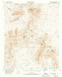
1956 Map of Crescent Peak
USGS Topo · Published 1970About this map
The high desert borderlands of San Bernardino County and Clark County come into focus during the mid-1950s, revealing a landscape shaped by mining and early transit. Historic town sites like Vanderbilt and Barnwell anchor the southern portion of the sheet, while the Old Railroad Grade and Old RR Grade trace the legacy of industrial infrastructure in this arid terrain. Remote outposts and water sources define the geography, including Clarks Well and the Crescent Mine near the summit of Crescent Peak.
Find a feature on this map
47 named features on this map. Tap any name to fly to it.
Don’t see what you’re looking for? This feature index may not catch every label — zoom into the map to look around manually.
Map Details
Editions of this 1956 Crescent Peak Map
3 editions found
Other maps of this area

1886 · Camp Mohave
USGS Topo · 1:250,000

1892 · Camp Mohave
USGS Topo · 1:250,000

1910 · Ivanpah
USGS Topo · 1:250,000

1912 · Ivanpah
USGS Topo · 1:250,000

1926 · Nelson
USGS Topo · 1:96,000

1926 · Mohave City
USGS Topo · 1:96,000

1942 · Camp Mohave
USGS Topo · 1:250,000

1942 · Ivanpah
USGS Topo · 1:250,000

1947 · Kingman
USGS Topo · 1:250,000

1948 · Kingman
USGS Topo · 1:250,000