
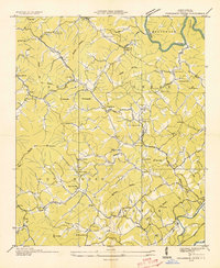
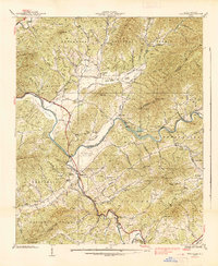
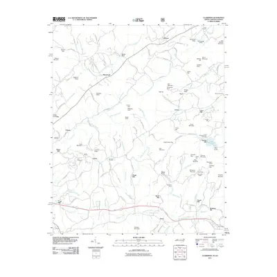
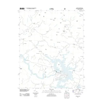
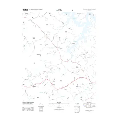
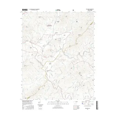
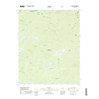
1934 Map of McDaniel Bald
USGS Topo · Published 1934About this map
McDaniel Bald towers over the border of Cherokee County, North Carolina and Monroe County, Tennessee, anchoring a landscape defined by its high gaps and winding creek branches during the mid-1930s. The Tennessee Valley Authority and U.S. Geological Survey collaborated on this study, documenting small mountain communities like Grandview and Ebenezer. Life in the high country centers around scattered institutions, including Mt Nebo School and several country churches such as White Church and Boiling Springs Church. The topography is intricate, with many family-named peaks and gaps like Peter Dick Gap, Harshaw Gap, and Tipton Knob marking the divisions between the Nantahala and Cherokee National Forests. The drainage network is particularly detailed, showing the paths of Hanging Dog Creek, Grape Creek, and Beaverdam Creek through the wooded terrain.
Find a feature on this map
84 named features on this map. Tap any name to fly to it.
Don’t see what you’re looking for? This feature index may not catch every label — zoom into the map to look around manually.
Map Details
Editions of this 1934 McDaniel Bald Map
This is the sole edition of this map. No revisions or reprints were ever made.
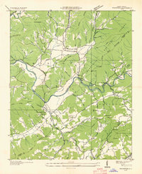
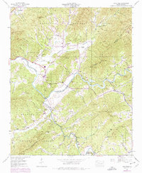
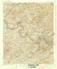
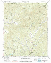
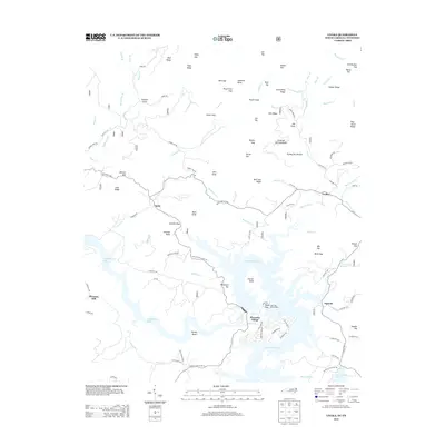
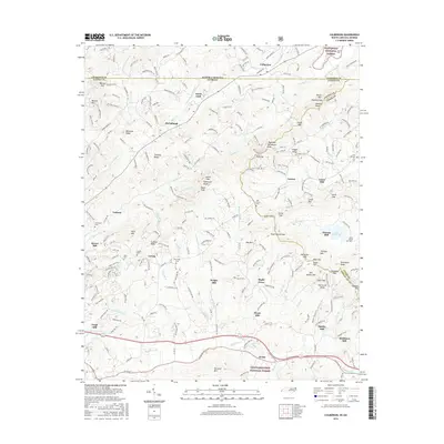
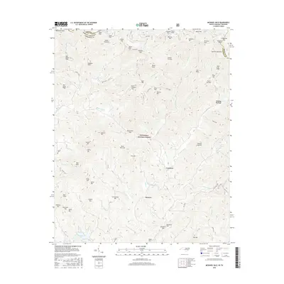
Historical Maps of Ebenezer Through Time
37 maps found
1934 McDaniel Bald
Cherokee County, NC
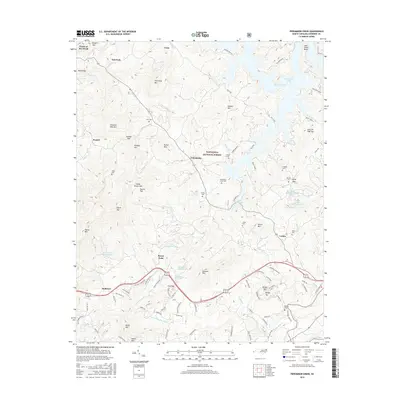
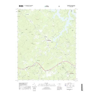
1934 Persimmon Creek
Cherokee County, NC

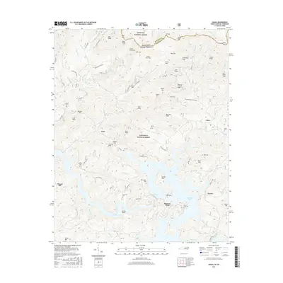
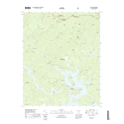
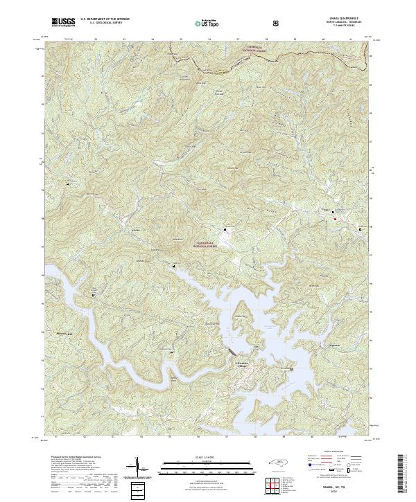
1934 Unaka
Cherokee County, NC
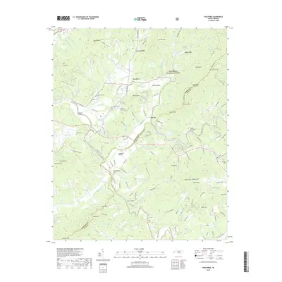
1935 Peachtree
Cherokee County, NC
1937 Peachtree
Cherokee County, NC
1938 Fowler Bend
Cherokee County, NC
1938 Peachtree
Cherokee County, NC
1957 Mc Daniel Bald
Cherokee County, NC

1957 Persimmon Creek
Cherokee County, NC
1957 Unaka
Cherokee County, NC

1971 Blacksburg North
Cherokee County, NC
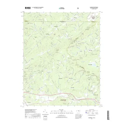
1988 Culberson
Cherokee County, NC
2011 Culberson
Cherokee County, NC
2011 McDaniel Bald
Cherokee County, NC
2011 Peachtree
Cherokee County, NC
2011 Persimmon Creek
Cherokee County, NC
2011 Unaka
Cherokee County, NC
2013 Culberson
Cherokee County, NC
2013 McDaniel Bald
Cherokee County, NC
2013 Peachtree
Cherokee County, NC
2013 Persimmon Creek
Cherokee County, NC
2013 Unaka
Cherokee County, NC
2016 Culberson
Cherokee County, NC
2016 McDaniel Bald
Cherokee County, NC
2016 Peachtree
Cherokee County, NC
2016 Persimmon Creek
Cherokee County, NC
2016 Unaka
Cherokee County, NC
2019 Culberson
Cherokee County, NC
2019 McDaniel Bald
Cherokee County, NC
2019 Peachtree
Cherokee County, NC
2019 Persimmon Creek
Cherokee County, NC
2019 Unaka
Cherokee County, NC
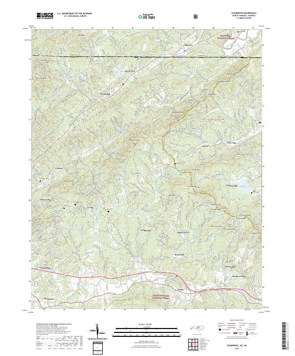
2022 Culberson
Cherokee County, NC
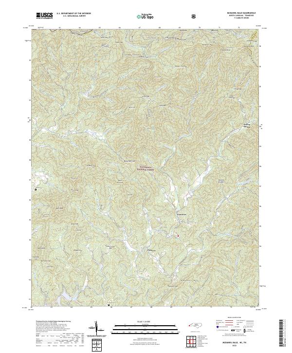
2022 McDaniel Bald
Cherokee County, NC
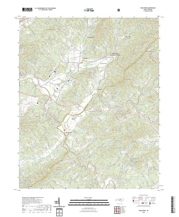
2022 Peachtree
Cherokee County, NC
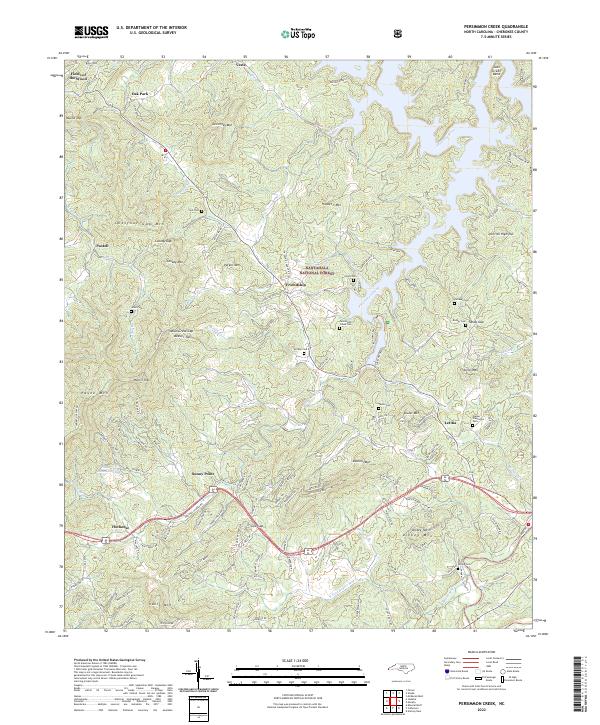
2022 Persimmon Creek
Cherokee County, NC
2022 Unaka
Cherokee County, NC