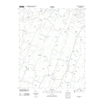
2010 Map of McDonald
USGS Topo · Published 2010About this map
McDonald Post Office sits at the northern edge of this Bradley County landscape, where the ridges and valleys of East Tennessee dictated the paths of early travel and commerce. The terrain is defined by a series of parallel features, including Lead Mine Ridge and Blue Springs Ridge, which channel the various branches and springs that once supported local farms and mills. The map records several named switches, such as Marble Switch and Weatherly Switch, indicating the area's historical reliance on the rail corridor for moving goods through Maroon Valley.
Find a feature on this map
76 named features on this map. Tap any name to fly to it.
Don’t see what you’re looking for? This feature index may not catch every label — zoom into the map to look around manually.
Map Details
Editions of this 2010 McDonald Map
This is the sole edition of this map. No revisions or reprints were ever made.
Other maps of this area

1886 · Dalton
USGS Topo · 1:125,000

1886 · Cleveland
USGS Topo · 1:125,000

1886 · Ringgold
USGS Topo · 1:125,000

1888 · Chattanooga
USGS Topo · 1:125,000

1892 · Ringgold
USGS Topo · 1:125,000

1892 · Cleveland
USGS Topo · 1:125,000

1892 · Dalton
USGS Topo · 1:125,000

1893 · Chattanooga
USGS Topo · 1:125,000

1895 · Cleveland
USGS Topo · 1:125,000

1897 · Dalton
USGS Topo · 1:125,000