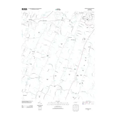
2013 Map of McDonald
USGS Topo · Published 2013About this map
Lead Mine Valley and its namesake ridge define the central corridor of this Bradley County landscape, where agriculture and early industrial remnants meet. The area is marked by numerous natural springs, such as Tucker Springs, Hysinger Spring, and Finnel Spring, which likely supported early homesteads and small communities like McDonald and Black Fox. Higher elevations are punctuated by peaks like Sugarloaf Knob and the Red Hill Lookout Tower at Red Hill.
Find a feature on this map
186 named features on this map. Tap any name to fly to it.
Don’t see what you’re looking for? This feature index may not catch every label — zoom into the map to look around manually.
Map Details
Editions of this 2013 McDonald Map
This is the sole edition of this map. No revisions or reprints were ever made.
Other maps of this area

1886 · Dalton
USGS Topo · 1:125,000

1886 · Cleveland
USGS Topo · 1:125,000

1886 · Ringgold
USGS Topo · 1:125,000

1888 · Chattanooga
USGS Topo · 1:125,000

1892 · Ringgold
USGS Topo · 1:125,000

1892 · Cleveland
USGS Topo · 1:125,000

1892 · Dalton
USGS Topo · 1:125,000

1893 · Chattanooga
USGS Topo · 1:125,000

1895 · Cleveland
USGS Topo · 1:125,000

1897 · Dalton
USGS Topo · 1:125,000