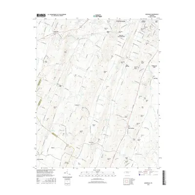
2016 Map of McDonald
USGS Topo · Published 2016About this map
Cleveland and South Cleveland sit at the northern edge of this Bradley County landscape, where the ridges and valleys of the Tennessee Valley define the local geography. The Tennessee Valley Divide cuts through the center of the sheet, separating the drainages of Candies Creek and Black Fox Creek. The area is characterized by a dense network of family-named landmarks and rural institutions, including the Lead Mine Ridge School and numerous small cemeteries like Flint Springs Cemetery and Oklahoma Cemetery.
Find a feature on this map
190 named features on this map. Tap any name to fly to it.
Don’t see what you’re looking for? This feature index may not catch every label — zoom into the map to look around manually.
Map Details
Editions of this 2016 McDonald Map
This is the sole edition of this map. No revisions or reprints were ever made.
Other maps of this area

1886 · Dalton
USGS Topo · 1:125,000

1886 · Cleveland
USGS Topo · 1:125,000

1886 · Ringgold
USGS Topo · 1:125,000

1888 · Chattanooga
USGS Topo · 1:125,000

1892 · Ringgold
USGS Topo · 1:125,000

1892 · Cleveland
USGS Topo · 1:125,000

1892 · Dalton
USGS Topo · 1:125,000

1893 · Chattanooga
USGS Topo · 1:125,000

1895 · Cleveland
USGS Topo · 1:125,000

1897 · Dalton
USGS Topo · 1:125,000