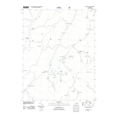
2011 Map of McDowell
USGS Topo · Published 2011About this map
Confederate Breastworks stand as a physical reminder of the Civil War history that defines this portion of Highland County, overlooking the mountain gaps and watercourses that shaped local defense and settlement. The landscape is characterized by the branching drainages of the Bullpasture River, Coupasture River, and Shaws Fork, which carve out numerous hollows and drafts. Early communities like McDowell, Liberty, and Head Waters are established along these valley corridors, connected by the winding path of State Rte 616. Distinctive topographic landmarks such as Sittlington Hill, Signal Corps Knob, and Maple Knob rise above the complex network of mountain draws, including Clover Lick Hollow and Salthouse Hollow, illustrating a terrain where high ridges and deep drafts dictated the placement of roads and homesteads.
Find a feature on this map
48 named features on this map. Tap any name to fly to it.
Don’t see what you’re looking for? This feature index may not catch every label — zoom into the map to look around manually.
Map Details
Editions of this 2011 McDowell Map
This is the sole edition of this map. No revisions or reprints were ever made.
Other maps of this area

1894 · Staunton
USGS Topo · 1:125,000

1901 · Monterey
USGS Topo · 1:125,000

1924 · Mc Dowell
USGS Topo · 1:62,500

1941 · Monterey
USGS Topo · 1:62,500

1943 · Craigsville
USGS Topo · 1:62,500

1944 · Monterey
USGS Topo · 1:62,500

1944 · Mc Dowell
USGS Topo · 1:62,500

1945 · Craigsville
USGS Topo · 1:62,500

1946 · Mc Dowell
USGS Topo · 1:62,500

1946 · Williamsville
USGS Topo · 1:62,500