
2016 Map of McEndree Ranch
USGS Topo · Published 2016About this map
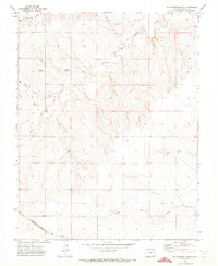
McEndree Ranch sits amidst a network of intermittent drainage channels and rural county roads in this high plains corner of Baca County. The landscape is defined by the winding course of Two Butte Cr, which is joined by local tributaries such as Snake Arroyo and Maverick Cr. To the north, the isolated Maxey Cem serves as a quiet marker of early regional settlement, situated near the intersection of several section-line roads like Co RD VV and Co RD 11. The mapping of townships t28s r49w and t28s r48w reveals a highly structured grid of section lines that dictates the movement of cattle and commerce across this open range. Southward, the terrain is shaped by the parallel paths of S Horse Cr and N Horse Cr, illustrating the vital importance of seasonal water sources for the cattle ranching operations that have long sustained this part of Colorado.
Find a feature on this map
20 named features on this map. Tap any name to fly to it.
Don’t see what you’re looking for? This feature index may not catch every label — zoom into the map to look around manually.
Map Details
Editions of this 2016 McEndree Ranch Map
This is the sole edition of this map. No revisions or reprints were ever made.
Other maps of this area
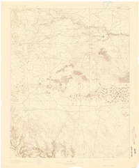
1891 · Springfield
USGS Topo · 1:125,000
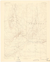
1892 · Two Butte
USGS Topo · 1:125,000
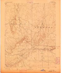
1893 · Two Butte
USGS Topo · 1:125,000
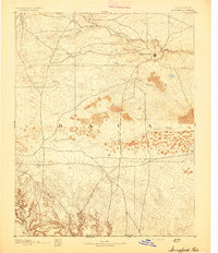
1893 · Springfield
USGS Topo · 1:125,000

1955 · La Junta
USGS Topo · 1:250,000

1958 · La Junta
USGS Topo · 1:250,000

1968 · La Junta
USGS Topo · 1:250,000
1971 · Big Rock Grange
USGS Topo · 1:24,000
1971 · Mc Endree Ranch
USGS Topo · 1:24,000
1971 · Deora
USGS Topo · 1:24,000