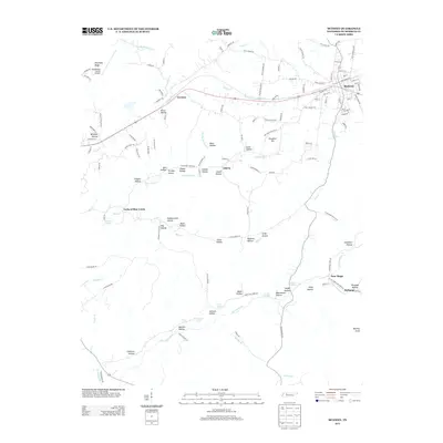
2013 Map of McEwen
USGS Topo · Published 2013About this map
The town of McEwen serves as the primary rail and road hub in this eastern Humphreys County landscape, situated along the railroad line that also connects the smaller community of Gorman to the west. The terrain is defined by a dense network of hollows and springs that supported generations of local families, evidenced by namesake landmarks such as Stringer Hollow, Mullinax Hollow, and Hedge Hollow. Significant elevations like Slaughter Hill and Balding Knob rise above the drainage basins of Blue Creek and Hurricane Creek. Settlement patterns follow these natural contours, with communities like Liberty and New Hope established near water sources such as Shiloh Spring and Forsee Spring. The presence of the Humphreys County Airport on Stephany Ridge indicates the modern infrastructure overlaying a landscape still deeply rooted in its agricultural and topographical history.
Find a feature on this map
136 named features on this map. Tap any name to fly to it.
Don’t see what you’re looking for? This feature index may not catch every label — zoom into the map to look around manually.
Map Details
Editions of this 2013 McEwen Map
This is the sole edition of this map. No revisions or reprints were ever made.
Other maps of this area

1936 · Gorman
USGS Topo · 1:24,000

1936 · Hurricane Mills
USGS Topo · 1:24,000

1936 · Woolworth
USGS Topo · 1:24,000

1936 · Ruskin
USGS Topo · 1:24,000

1936 · Bucksnort
USGS Topo · 1:24,000

1936 · Halls Creek
USGS Topo · 1:24,000

1936 · Spot
USGS Topo · 1:24,000

1936 · Waverly
USGS Topo · 1:24,000

1936 · Tennessee City
USGS Topo · 1:24,000

1950 · Halls Creek
USGS Topo · 1:24,000