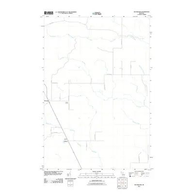
2011 Map of McFarland
USGS Topo · Published 2011About this map
McFarland and Lathrop serve as the primary focal points of this Delta County landscape, situated along the m35 corridor. The geography is defined by a dense network of waterways, with the Rapid River flowing through the southern portion of the quadrangle and numerous tributaries like Werners Creek and Deer Creek draining the central and northern areas. This 2011 survey reveals a rural infrastructure reliant on a grid of county roads and distinctive paths such as Stack Grade, which likely follows a former industrial or logging route.
Find a feature on this map
28 named features on this map. Tap any name to fly to it.
Don’t see what you’re looking for? This feature index may not catch every label — zoom into the map to look around manually.
Map Details
Editions of this 2011 McFarland Map
This is the sole edition of this map. No revisions or reprints were ever made.
Other maps of this area

1932 · Skandia SW
USGS Topo · 1:31,680

1932 · Rock SW
USGS Topo · 1:31,680

1932 · Helena NE
USGS Topo · 1:31,680

1932 · Rock NE
USGS Topo · 1:31,680

1932 · Skandia SE
USGS Topo · 1:31,680

1932 · Rock SE
USGS Topo · 1:31,680

1932 · Harvey SE
USGS Topo · 1:31,680

1932 · Rock NW
USGS Topo · 1:31,680

1932 · Helena
USGS Topo · 1:31,680

1951 · Helena
USGS Topo · 1:31,680