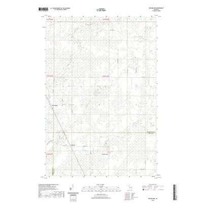
2019 Map of McFarland
USGS Topo · Published 2019About this map
The Lathrop and McFarland communities anchor this northern Michigan landscape along the border of Marquette and Delta Counties. This 2019 survey documents a terrain dominated by wetlands and complex water systems, where the Rapid River and several tributaries like Deer Creek and Deadhorse Creek shape the local drainage. Cultural history is preserved at the Lathrop Cemetery and Hillview Cemetery, providing essential points of reference for genealogists tracking families in the Upper Peninsula.
Find a feature on this map
34 named features on this map. Tap any name to fly to it.
Don’t see what you’re looking for? This feature index may not catch every label — zoom into the map to look around manually.
Map Details
Editions of this 2019 McFarland Map
This is the sole edition of this map. No revisions or reprints were ever made.
Other maps of this area

1932 · Skandia SW
USGS Topo · 1:31,680

1932 · Rock SW
USGS Topo · 1:31,680

1932 · Helena NE
USGS Topo · 1:31,680

1932 · Rock NE
USGS Topo · 1:31,680

1932 · Skandia SE
USGS Topo · 1:31,680

1932 · Rock SE
USGS Topo · 1:31,680

1932 · Harvey SE
USGS Topo · 1:31,680

1932 · Rock NW
USGS Topo · 1:31,680

1932 · Helena
USGS Topo · 1:31,680

1951 · Helena
USGS Topo · 1:31,680