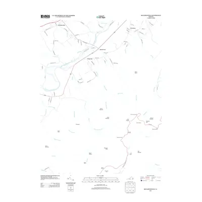
2013 Map of McGaheysville
USGS Topo · Published 2013About this map
S Fork Shenandoah River winds through the heart of this Rockingham County landscape, marking a transition between the valley floor settlements and the rising elevations of Shenandoah National Park. The survey illustrates the rural character of communities like McGaheysville, Island Ford, and Berrytown, which are connected by historic routes such as McGaheysville Rd and 340. The eastern portion of the map is dominated by the Blue Ridge Mountains, featuring a network of trails and overlooks along the iconic Skyline Dr.
Find a feature on this map
91 named features on this map. Tap any name to fly to it.
Don’t see what you’re looking for? This feature index may not catch every label — zoom into the map to look around manually.
Map Details
Editions of this 2013 McGaheysville Map
This is the sole edition of this map. No revisions or reprints were ever made.
Other maps of this area

1892 · Harrisonburg
USGS Topo · 1:125,000

1931 · University
USGS Topo · 1:62,500

1934 · Waynesboro
USGS Topo · 1:48,000

1935 · University
USGS Topo · 1:62,500

1937 · Elkton
USGS Topo · 1:62,500

1939 · Waynesboro
USGS Topo · 1:62,500

1941 · Harrisonburg
USGS Topo · 1:62,500

1943 · Harrisonburg
USGS Topo · 1:62,500

1949 · Charlottesville
USGS Topo · 1:250,000

1956 · Charlottesville
USGS Topo · 1:250,000