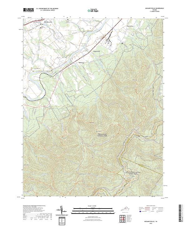
2022 Map of McGaheysville
USGS Topo · Published 2022About this map
McGaheysville and Island Ford anchor the northwestern portion of this terrain, where the valley floor meets the rising peaks of Shenandoah National Park. The South Fork Shenandoah River winds through the Page Valley, serving as a primary corridor for the small communities of Berrytown and Rocky Bar. Local history and genealogy are well-represented by numerous family and community sites, including Mount Olivet Cem, Sipe Cem, and the New Hope Baptist Church Cem.
Find a feature on this map
91 named features on this map. Tap any name to fly to it.
Don’t see what you’re looking for? This feature index may not catch every label — zoom into the map to look around manually.
Map Details
Editions of this 2022 McGaheysville Map
This is the sole edition of this map. No revisions or reprints were ever made.
Other maps of this area

1892 · Harrisonburg
USGS Topo · 1:125,000

1931 · University
USGS Topo · 1:62,500

1934 · Waynesboro
USGS Topo · 1:48,000

1935 · University
USGS Topo · 1:62,500

1937 · Elkton
USGS Topo · 1:62,500

1939 · Waynesboro
USGS Topo · 1:62,500

1941 · Harrisonburg
USGS Topo · 1:62,500

1943 · Harrisonburg
USGS Topo · 1:62,500

1949 · Charlottesville
USGS Topo · 1:250,000

1956 · Charlottesville
USGS Topo · 1:250,000