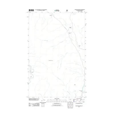
2011 Map of McGee Meadow
USGS Topo · Published 2011About this map
McGee Meadow and the surrounding drainage basins of Camas Creek and McDonald Creek define this section of the Flathead County landscape. The area is characterized by high-elevation vantage points such as Apgar Lookout and the Apgar Mountains, which oversee a network of mountain streams including Fish Creek, Fern Creek, and Rubideau Creek. The presence of the Quarter Circle Bridge and established viewpoints like the McGee Meadow Overlook and Camas Creek Overlook along Glacier Route 8 Rd indicates a geography managed for accessibility and conservation. For researchers, the map provides a clear record of hydrology and land management, tracing features from Rubideau Spring to the prominent heights of Fool Hen Hill and McGee Hill.
Find a feature on this map
18 named features on this map. Tap any name to fly to it.
Don’t see what you’re looking for? This feature index may not catch every label — zoom into the map to look around manually.
Map Details
Editions of this 2011 McGee Meadow Map
This is the sole edition of this map. No revisions or reprints were ever made.
Other maps of this area

1904 · Chief Mountain
USGS Topo · 1:125,000

1906 · Kintla Lakes
USGS Topo · 1:125,000

1914 · Nyack
USGS Topo · 1:125,000

1938 · Chief Mountain
USGS Topo · 1:125,000

1938 · Kintla Lakes
USGS Topo · 1:125,000

1943 · Kalispell
USGS Topo · 1:125,000

1957 · Kalispell
USGS Topo · 1:250,000

1960 · Kalispell
USGS Topo · 1:250,000

1960 · Cut Bank
USGS Topo · 1:250,000

1961 · Kalispell
USGS Topo · 1:250,000