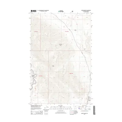
2014 Map of McGee Meadow
USGS Topo · Published 2014About this map
Glacier National Park and the Flathead National Forest converge in this high-altitude landscape of northwestern Montana. The terrain is defined by the Apgar Mountains and the prominent wetland of McGee Meadow, which provides a rare level opening among the steep ridges. The drainage network is complex, with Camas Cr, Fish Cr, and Apgar Cr carving through the mountain slopes toward the North Fork Flathead River in the west. Human passage is largely confined to Camas Rd, which winds through the central valley. A small but significant point of access at the southern edge is the Quarter Circle Bridge crossing McDonald Creek. This area illustrates the late 20th and early 21st-century management of protected wilderness, where natural features like Rubideau Spring and McGee Hill remain primary landmarks within the federal land boundaries.
Find a feature on this map
35 named features on this map. Tap any name to fly to it.
Don’t see what you’re looking for? This feature index may not catch every label — zoom into the map to look around manually.
Map Details
Editions of this 2014 McGee Meadow Map
This is the sole edition of this map. No revisions or reprints were ever made.
Other maps of this area
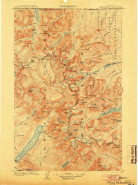
1904 · Chief Mountain
USGS Topo · 1:125,000
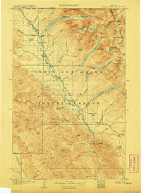
1906 · Kintla Lakes
USGS Topo · 1:125,000
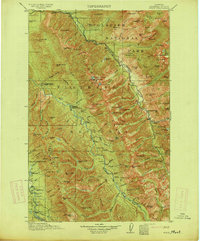
1914 · Nyack
USGS Topo · 1:125,000
1938 · Chief Mountain
USGS Topo · 1:125,000
1938 · Kintla Lakes
USGS Topo · 1:125,000
1943 · Kalispell
USGS Topo · 1:125,000

1957 · Kalispell
USGS Topo · 1:250,000

1960 · Kalispell
USGS Topo · 1:250,000
1960 · Cut Bank
USGS Topo · 1:250,000

1961 · Kalispell
USGS Topo · 1:250,000