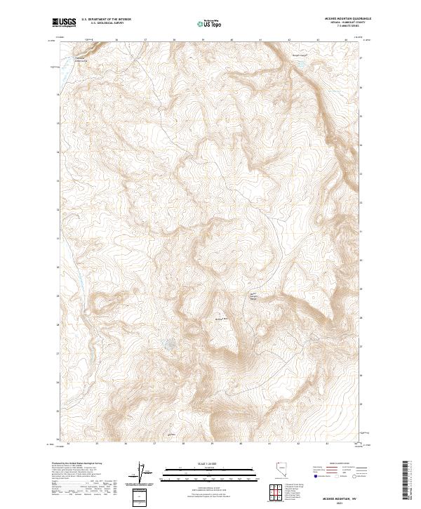
2021 Map of McGhee Mountain
USGS Topo · Published 2021About this map
McGhee Mtn dominates the central portion of this Humboldt County quadrangle, situated within the wider Idaho Canyon Range. The landscape is defined by its drainages and isolated water sources, where high desert topography yields to the dramatic Thousand Creek Gorge in the northwest. This area exhibits a typical Great Basin drainage pattern, with seasonal waterways like Virgin Cr and Sagebrush Cr winding through deeply incised canyons. For those interested in the historical geography of Nevada's high desert, the map identifies critical permanent water points such as McGhee Mountain Spring and Burro Spring, which have long served as vital landmarks in an otherwise arid environment. The southern portion of the map is anchored by the rising mass of Big Mtn, providing a clear view of the complex elevation changes that characterize this portion of the Oregon-Nevada borderlands.
Find a feature on this map
17 named features on this map. Tap any name to fly to it.
Don’t see what you’re looking for? This feature index may not catch every label — zoom into the map to look around manually.
Map Details
Editions of this 2021 McGhee Mountain Map
This is the sole edition of this map. No revisions or reprints were ever made.
Other maps of this area

1886 · Disaster
USGS Topo · 1:250,000

1889 · Long Valley
USGS Topo · 1:250,000

1893 · Disaster
USGS Topo · 1:250,000

1954 · Vya
USGS Topo · 1:250,000

1958 · Vya
USGS Topo · 1:250,000

1962 · Vya
USGS Topo · 1:250,000

1965 · Railroad Point
USGS Topo · 1:62,500

1965 · Idaho Canyon
USGS Topo · 1:62,500

1965 · Rock Spring Table
USGS Topo · 1:62,500

1966 · Big Spring Butte
USGS Topo · 1:62,500