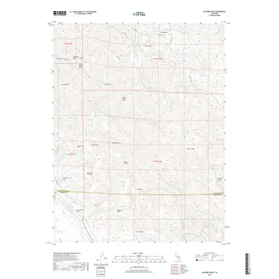
2018 Map of McGuire Ridge
USGS Topo · Published 2018About this map
The San Andreas Fault cuts across the southern portion of this Mendocino and Sonoma county borderlands landscape, a region defined by high ridges and deep drainages. In the late 2010s, this area reflects a pattern of isolated clearings and named flats among the timbered heights, including Peachtree Flat and the Lowrey Openings. The topography is marked by significant landmarks like Little Red Rock Mtn and the steep Horsethief Canyon to the east.
Find a feature on this map
45 named features on this map. Tap any name to fly to it.
Don’t see what you’re looking for? This feature index may not catch every label — zoom into the map to look around manually.
Map Details
Editions of this 2018 McGuire Ridge Map
This is the sole edition of this map. No revisions or reprints were ever made.
Other maps of this area
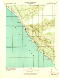
1921 · Plantation
USGS Topo · 1:62,500
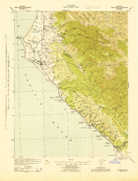
1943 · Point Arena
USGS Topo · 1:62,500
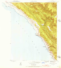
1943 · Stewarts Point
USGS Topo · 1:24,000
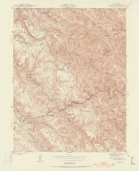
1943 · Annapolis
USGS Topo · 1:24,000
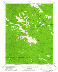
1943 · Ornbaun
USGS Topo · 1:62,500
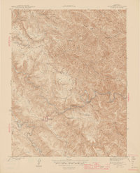
1944 · Annapolis
USGS Topo · 1:31,680
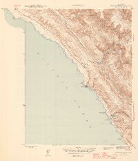
1944 · Stewarts Point
USGS Topo · 1:31,680
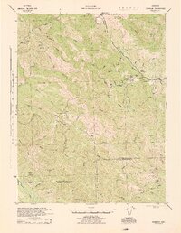
1944 · Ornbaun
USGS Topo · 1:62,500
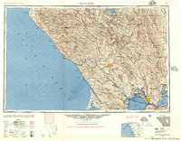
1947 · Santa Rosa
USGS Topo · 1:250,000
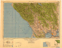
1949 · Santa Rosa
USGS Topo · 1:250,000