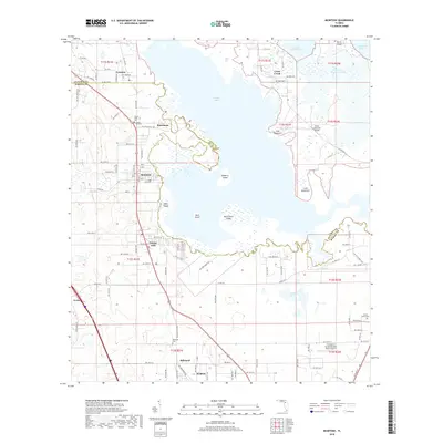
2018 Map of McIntosh
USGS Topo · Published 2018About this map
Orange Lake dominates this central Florida landscape, its intricate shoreline dotted with settlements like McIntosh and Boardman. The water system is particularly detailed, tracing the path of the River Styx as it flows south and the legendary Cross Creek connecting the main lake to Little Lochloosa Lake in the northeast. This 2018 survey reveals a territory where the boundaries of Alachua Co and Marion Co meet amidst a mosaic of hammocks and islands, including Cane Hammock and Redbird Island.
Find a feature on this map
75 named features on this map. Tap any name to fly to it.
Don’t see what you’re looking for? This feature index may not catch every label — zoom into the map to look around manually.
Map Details
Editions of this 2018 McIntosh Map
This is the sole edition of this map. No revisions or reprints were ever made.
Other maps of this area

1890 · Arredondo
USGS Topo · 1:62,500

1892 · Arredondo
USGS Topo · 1:62,500

1893 · Citra
USGS Topo · 1:62,500

1894 · Arredondo
USGS Topo · 1:62,500

1895 · Williston
USGS Topo · 1:62,500

1895 · Citra
USGS Topo · 1:62,500

1938 · Hawthorn
USGS Topo · 1:48,000

1943 · Hawthorn
USGS Topo · 1:62,500

1954 · Gainesville
USGS Topo · 1:250,000

1958 · Gainesville
USGS Topo · 1:250,000