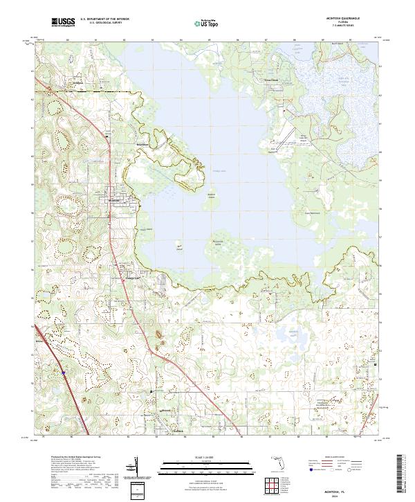
2024 Map of McIntosh
USGS Topo · Published 2024About this map
Orange Lake dominates this north-central Florida landscape, defining the boundaries and livelihoods of the surrounding communities. The town of McIntosh sits on its western shore, characterized by a grid of local streets like NW 210th St and Co Rd 320, while the famed Cross Creek connects the larger water body to Lochloosa Lake in the northeast. This area, straddling the Alachua and Marion County line, maintains a rural character defined by agricultural heritage and conservation, notably within the Lochloosa Wildlife Conservation Area.
Find a feature on this map
99 named features on this map. Tap any name to fly to it.
Don’t see what you’re looking for? This feature index may not catch every label — zoom into the map to look around manually.
Map Details
Editions of this 2024 McIntosh Map
This is the sole edition of this map. No revisions or reprints were ever made.
Other maps of this area

1890 · Arredondo
USGS Topo · 1:62,500

1892 · Arredondo
USGS Topo · 1:62,500

1893 · Citra
USGS Topo · 1:62,500

1894 · Arredondo
USGS Topo · 1:62,500

1895 · Williston
USGS Topo · 1:62,500

1895 · Citra
USGS Topo · 1:62,500

1938 · Hawthorn
USGS Topo · 1:48,000

1943 · Hawthorn
USGS Topo · 1:62,500

1954 · Gainesville
USGS Topo · 1:250,000

1958 · Gainesville
USGS Topo · 1:250,000