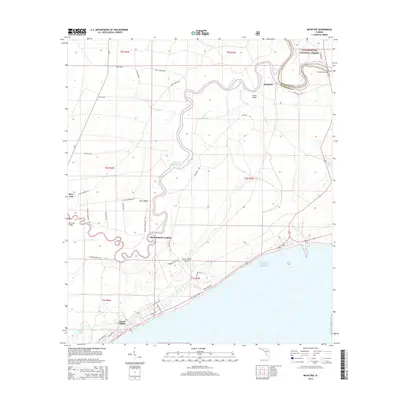
2015 Map of McIntyre
USGS Topo · Published 2015About this map
The Crooked River snakes through the dense wetlands of Franklin County, defining the interior landscape of Saint James Island. This coastal region is largely dominated by the Apalachicola National Forest, where narrow roads like Rock Landing Rd and McIntyre Rd provide access to the riverbanks. Small riverside settlements and landings, including McIntyre, Lewis Bluff, and Big Blackjack Landing, point to a history of water-based navigation and timber access along the winding channels of the Ochlockonee River.
Find a feature on this map
37 named features on this map. Tap any name to fly to it.
Don’t see what you’re looking for? This feature index may not catch every label — zoom into the map to look around manually.
Map Details
Editions of this 2015 McIntyre Map
This is the sole edition of this map. No revisions or reprints were ever made.
Other maps of this area
1940 · Arran
USGS Topo · 1:62,500
1943 · Arran
USGS Topo · 1:62,500
1943 · Dog Island
USGS Topo · 1:31,680
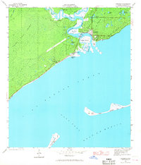
1943 · Carrabelle
USGS Topo · 1:24,000
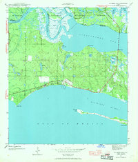
1943 · St. Teresa Beach
USGS Topo · 1:24,000
1944 · Pickett Bay
USGS Topo · 1:31,680
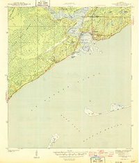
1944 · Carrabelle
USGS Topo · 1:31,680
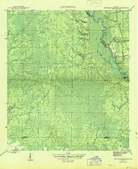
1945 · Thousand Yard Bay
USGS Topo · 1:31,680
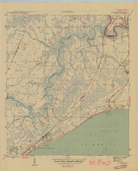
1945 · Mc Intyre
USGS Topo · 1:31,680
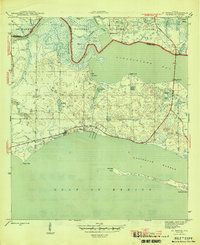
1945 · St Teresa
USGS Topo · 1:31,680