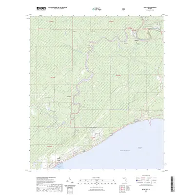
2024 Map of McIntyre
USGS Topo · Published 2024About this map
Apalachicola National Forest and the vast Womack Creek Swamp dominate this landscape where the Ochlockonee River and Crooked River converge. The topography is defined by low-lying wetlands and strategic high points like Lewis Bluff and Davis Bluff. Local history is preserved in several small burial sites, including the Alga Sanders Cem and the Cochrans Still Cem near the settlement of McIntyre. Along the southern coast, the planned street grid of Lanark Village borders the Gulf of Mexico and Saint George Sound. This coastal interface includes Saint James Island and the Florida Circumnavigational Saltwater Paddling Trail, highlighting the area's long-standing connection to riverine and maritime navigation. The mapping of numerous forest roads, such as Hickory Hammock Rd and Jeff Sanders Rd, illustrates the complex network of access points through the dense forest and swamp.
Find a feature on this map
53 named features on this map. Tap any name to fly to it.
Don’t see what you’re looking for? This feature index may not catch every label — zoom into the map to look around manually.
Map Details
Editions of this 2024 McIntyre Map
This is the sole edition of this map. No revisions or reprints were ever made.
Other maps of this area
1940 · Arran
USGS Topo · 1:62,500
1943 · Arran
USGS Topo · 1:62,500
1943 · Dog Island
USGS Topo · 1:31,680
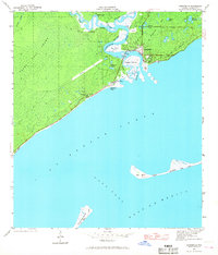
1943 · Carrabelle
USGS Topo · 1:24,000
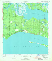
1943 · St. Teresa Beach
USGS Topo · 1:24,000
1944 · Pickett Bay
USGS Topo · 1:31,680
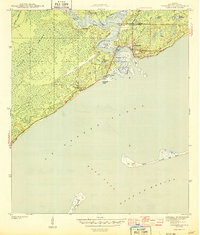
1944 · Carrabelle
USGS Topo · 1:31,680
1945 · Thousand Yard Bay
USGS Topo · 1:31,680
1945 · Mc Intyre
USGS Topo · 1:31,680
1945 · St Teresa
USGS Topo · 1:31,680