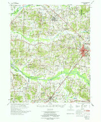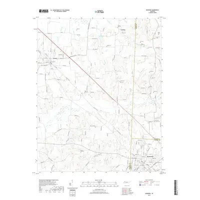
1986 Map of McKenzie
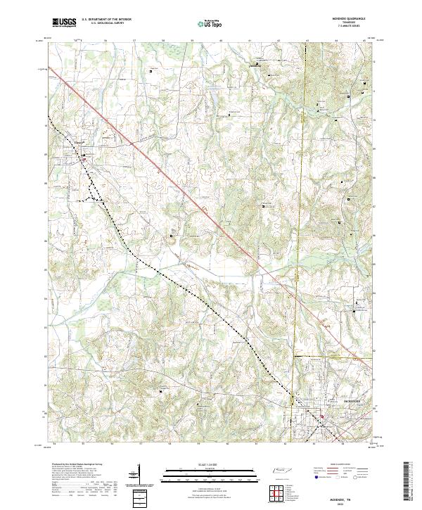
USGS Topo · Published 1993About this map
McKenzie sits at a critical junction of the Illinois Central Gulf RR and Seaboard System RR lines, anchoring a landscape where the West Tennessee agricultural interior meets the vast waters of the Tennessee River. This 1980s era survey illustrates the complex hydrology of the region, from the meandering channels of the North Fork Obion River and Middle Fork Obion River to the broad expanse of Kentucky Lake. The map details the transition from the river bottomlands to the Chestnut Hills, highlighting specialized land management such as the West Sandy Creek Dewatering Area. Local history is preserved through named rural landmarks like Jones Mill, Fancy Ch, and the East Side Cem, reflecting a long-established network of small settlements like Puryear and Huntingdon that developed around these vital rail and water corridors.
Find a feature on this map
136 named features on this map. Tap any name to fly to it.
Don’t see what you’re looking for? This feature index may not catch every label — zoom into the map to look around manually.
Map Details
Editions of this 1986 McKenzie Map
3 editions found

Historical Maps of Union City Through Time
7 maps found