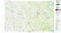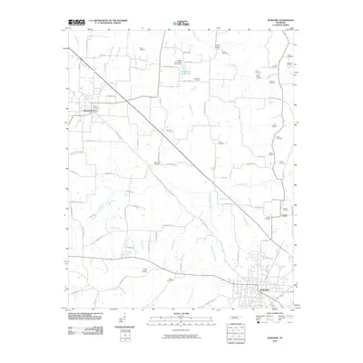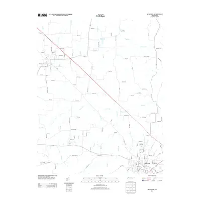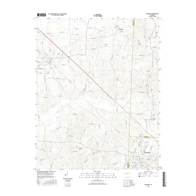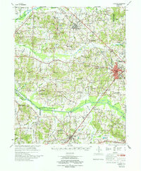
1977 Map of McKenzie
USGS Topo · Published 1977About this map
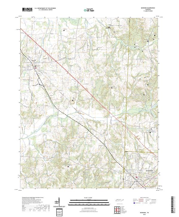
McKenzie stands at the crossroads of the Louisville & Nashville and Illinois Central Gulf railroads, serving as a regional hub for education and commerce in the late 1970s. Home to Bethel College, the town is surrounded by a patchwork of small communities and rural outposts that define the West Tennessee landscape. To the south, the village of Trezevant anchors a territory of smaller settlements like Christmasville and Wingo, while family-run landmarks such as Stafford Store and Crowley Store mark important local meeting points along the county roads.
Find a feature on this map
114 named features on this map. Tap any name to fly to it.
Don’t see what you’re looking for? This feature index may not catch every label — zoom into the map to look around manually.
Map Details
Editions of this 1977 McKenzie Map
This is the sole edition of this map. No revisions or reprints were ever made.
Historical Maps of McKenzie Through Time
7 maps found