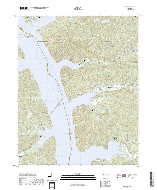
2022 Map of McKinnon
USGS Topo · Published 2022About this map
The Tennessee River and Kentucky Lake dominate this landscape on the border of Houston, Benton, and Stewart counties. The western shore is deeply indented by drainage networks like Lick Creek and Leatherwood Bay, while the eastern side is defined by the high ridges and steep hollows of Jack Stable Ridge and Furnace Stack Hollow. The Houston-Benton Ferry provides a rare river crossing point, connecting the rural communities of Faxon and McKinnon.
Find a feature on this map
130 named features on this map. Tap any name to fly to it.
Don’t see what you’re looking for? This feature index may not catch every label — zoom into the map to look around manually.
Map Details
Editions of this 2022 McKinnon Map
This is the sole edition of this map. No revisions or reprints were ever made.
Other maps of this area

1936 · Poplar Creek
USGS Topo · 1:24,000

1936 · McKinnon
USGS Topo · 1:24,000

1936 · Big Sandy
USGS Topo · 1:24,000

1936 · Stewart
USGS Topo · 1:24,000

1936 · Centerville Landing
USGS Topo · 1:24,000

1936 · Halls Creek
USGS Topo · 1:24,000

1936 · Harmon Creek
USGS Topo · 1:24,000

1936 · Standing Rock
USGS Topo · 1:24,000

1936 · Dover
USGS Topo · 1:24,000

1949 · Harmon Creek
USGS Topo · 1:24,000