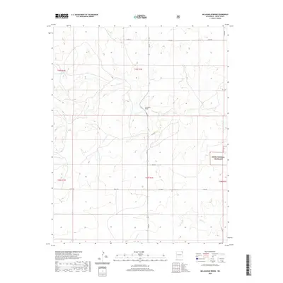
2020 Map of McLaughlin Bridge
USGS Topo · Published 2020About this map
Corrumpa Cr and Alamosita Cr define the drainage of this northeastern Union County landscape, where water has long dictated the patterns of movement and land use. The presence of McLaughlin Bridge serves as a critical landmark for crossing the deep cuts of the regional creek system, connecting the remote ranching country near the Kiowa National Grassland. Genealogists and local historians will find the Grandview Cem located south of Kear Rd, a quiet marker of the families who settled this high plains territory. The network of rural routes, including Lake Rd and Co RD a055, provides a window into the modern infrastructure that still follows the historic sections and township lines of the t29n r34e and t28n r34e survey boundaries.
Find a feature on this map
19 named features on this map. Tap any name to fly to it.
Don’t see what you’re looking for? This feature index may not catch every label — zoom into the map to look around manually.
Map Details
Editions of this 2020 McLaughlin Bridge Map
This is the sole edition of this map. No revisions or reprints were ever made.
Other maps of this area
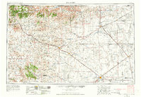
1954 · Dalhart
USGS Topo · 1:250,000
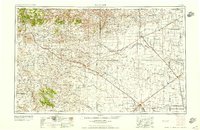
1958 · Dalhart
USGS Topo · 1:250,000
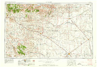
1962 · Dalhart
USGS Topo · 1:250,000
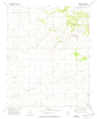
1972 · Seneca
USGS Topo · 1:24,000
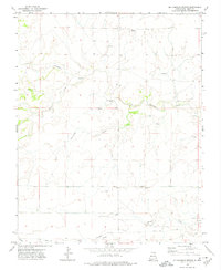
1972 · Mc Laughlin Bridge
USGS Topo · 1:24,000
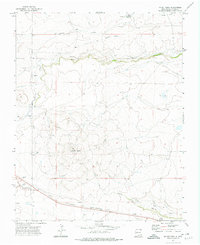
1972 · Mount Dora
USGS Topo · 1:24,000
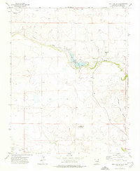
1972 · Bible Top Butte
USGS Topo · 1:24,000
1972 · Guy
USGS Topo · 1:24,000
1972 · Cuates School
USGS Topo · 1:24,000
1972 · Atencio
USGS Topo · 1:24,000