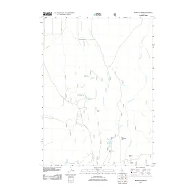
2011 Map of McMullen Basin
USGS Topo · Published 2011About this map
McMullen Basin Spring and numerous other water sources define this high-desert ranching landscape in southern Twin Falls County. The 2011 survey reveals a complex network of seasonal water management, featuring names like Upper Burnt Creek Reservoir, Dry Fork Reservoir, and Williams Reservoir, which is held by Williams Dam. The reliance on these catchments and natural outlets like Moonshine Spring, Rim Rock Spring, and Squaw Joe Spring suggests a territory where livestock grazing and water rights are central to the local economy. Beyond the basins, the terrain is marked by prominent drainage systems including McMullen Creek and North Cottonwood Creek. Access to these remote areas is maintained via established routes such as Hoppers Gulch Rd and Cottonwood Creek Rd, which provide passage through the North Cottonwood Ridge.
Find a feature on this map
38 named features on this map. Tap any name to fly to it.
Don’t see what you’re looking for? This feature index may not catch every label — zoom into the map to look around manually.
Map Details
Editions of this 2011 McMullen Basin Map
This is the sole edition of this map. No revisions or reprints were ever made.
Other maps of this area

1955 · Twin Falls
USGS Topo · 1:250,000

1958 · Twin Falls
USGS Topo · 1:250,000

1965 · Hollister
USGS Topo · 1:24,000

1965 · Stricker Butte
USGS Topo · 1:24,000

1965 · Berger
USGS Topo · 1:24,000

1965 · Grand View Peak
USGS Topo · 1:24,000

1965 · Hub Butte
USGS Topo · 1:24,000

1965 · Mc Mullen Basin
USGS Topo · 1:24,000

1977 · Rogerson
USGS Topo · 1:24,000

1978 · Hopper Gulch
USGS Topo · 1:24,000