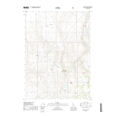
2020 Map of McMullen Basin
USGS Topo · Published 2020About this map
McMullen Basin and the adjacent drainages of the Sawtooth National Forest define this 2020 landscape in Twin Falls County. The topography is shaped by a complex network of canyons and high ridges, notably Squaw Joe Canyon and North Cottonwood Ridge, which guide the flow of several ephemeral and perennial streams. Water management is a primary feature of the area, evidenced by numerous named reservoirs such as Dry Fork Reservoir, Upper Burnt Cr Reservoir, and Curtis Reservoir.
Find a feature on this map
45 named features on this map. Tap any name to fly to it.
Don’t see what you’re looking for? This feature index may not catch every label — zoom into the map to look around manually.
Map Details
Editions of this 2020 McMullen Basin Map
This is the sole edition of this map. No revisions or reprints were ever made.
Other maps of this area

1955 · Twin Falls
USGS Topo · 1:250,000

1958 · Twin Falls
USGS Topo · 1:250,000

1965 · Hollister
USGS Topo · 1:24,000

1965 · Stricker Butte
USGS Topo · 1:24,000

1965 · Berger
USGS Topo · 1:24,000

1965 · Grand View Peak
USGS Topo · 1:24,000

1965 · Hub Butte
USGS Topo · 1:24,000

1965 · Mc Mullen Basin
USGS Topo · 1:24,000

1977 · Rogerson
USGS Topo · 1:24,000

1978 · Hopper Gulch
USGS Topo · 1:24,000