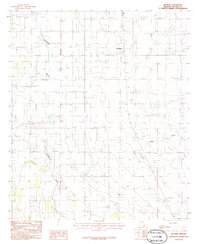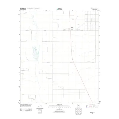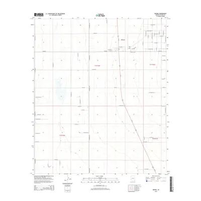
1996 Map of McNeal
USGS Topo · Published 2003About this map
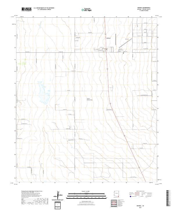
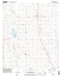
Mc Neal and the surrounding high desert plains of Cochise County are defined by a grid of agricultural and industrial utility in the late twentieth century. This survey reveals a landscape of dispersed ranching and infrastructure, where the seasonal flow of Whitewater Draw and Leslie Creek cuts through a terrain punctuated by a private Airport and an isolated Landing Strip. The presence of a local Cemetery and various utilities, such as a Substation and a Radio Facility, indicates a community organized around the practical needs of rural Arizona life.
Find a feature on this map
15 named features on this map. Tap any name to fly to it.
Don’t see what you’re looking for? This feature index may not catch every label — zoom into the map to look around manually.
Map Details
Editions of this 1996 McNeal Map
This is the sole edition of this map. No revisions or reprints were ever made.
Historical Maps of McNeal Through Time
6 maps found