2022 Map of McQueeney
USGS Topo · Published 2022About this map
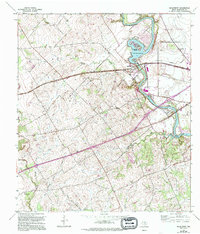
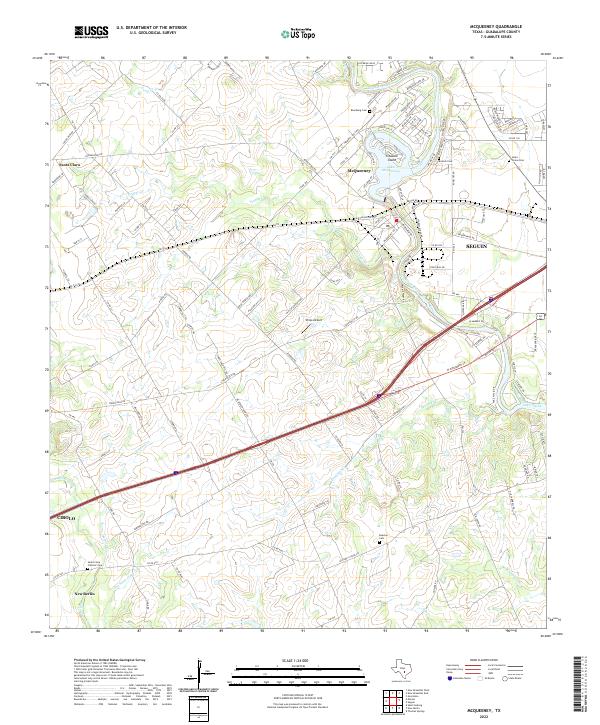
The Guadalupe River corridor defines this portion of Guadalupe County, where water management for recreation and power has created significant reservoirs like Lake McQueeney and Lake Placid. At McQueeney, the river widens around Treasure Island, a residential enclave that reflects the area's development as a central Texas leisure destination. The landscape transitions from these developed shorelines to the agricultural plains near New Berlin and Cibolo, characterized by numerous seasonal drainages such as Dry Santa Clara Cr and Buzzard Cr.
Find a feature on this map
137 named features on this map. Tap any name to fly to it.
Don’t see what you’re looking for? This feature index may not catch every label — zoom into the map to look around manually.
Map Details
Editions of this 2022 McQueeney Map
This is the sole edition of this map. No revisions or reprints were ever made.