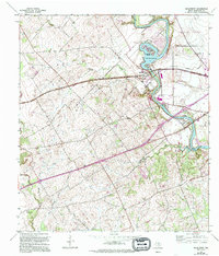
1958 Map of McQueeney
USGS Topo · Published 1994About this map
The Guadalupe River winds through this Central Texas landscape, defining the character of the region as it feeds into Lake Mc Queeney and Lake Placid. This 1958 survey, updated in the late 1980s, captures the mid-century development of waterfront communities like McQueeney and the residential layout of Treasure Island. The topography transitions from the river valley to the rolling terrain around Santa Clara, where agricultural roots are evident in the scatter of rural family sites and creeks like Santa Clara Creek and Youngs Creek. Genealogy researchers can find several local burial grounds, including Santo Tomas Cem, Boecker Cem, and Santa Clara Cem. The expansion of nearby industry is visible along the Seguin Corporate Boundary, where a Gravel Pit and utility infrastructure begin to press into the traditional ranching and farming lands of Guadalupe County.
Find a feature on this map
19 named features on this map. Tap any name to fly to it.
Don’t see what you’re looking for? This feature index may not catch every label — zoom into the map to look around manually.
Map Details
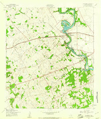
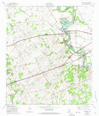
Editions of this 1958 McQueeney Map
3 editions found
Other maps of this area

1911 · San Marcos
USGS Topo · 1:125,000

1919 · San Marcos
USGS Topo · 1:125,000

1920 · Smiley
USGS Topo · 1:125,000

1924 · New Braunfels No 4
USGS Topo · 1:48,000

1924 · San Marcos 3-c
USGS Topo · 1:48,000

1925 · New Braunfels No 1
USGS Topo · 1:48,000

1927 · New Braunfels
USGS Topo · 1:62,500

1930 · Seguin
USGS Topo · 1:62,500

1942 · Dewville
USGS Topo · 1:62,500

1953 · Seguin
USGS Topo · 1:250,000