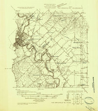
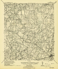
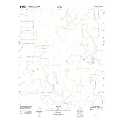
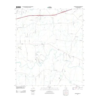
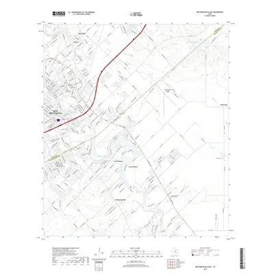
1925 Map of New Braunfels No 1
USGS Topo · Published 1925About this map
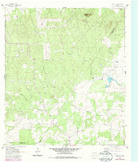
The Guadalupe River snakes through the center of this 1925 survey, defining the rugged landscape between the growing town of New Braunfels and the agricultural lands of Guadalupe Co. This sheet is remarkable for its dense network of rural schoolhouses, including Church Hill School, Rose School, and Specht School, which serve as markers for the early twentieth-century German-Texan farming communities. The presence of Ditmar Falls and the crossing of the Missouri Kansas And Texas railroad at Gruene illustrate a region where river power and rail transit intersected.
Find a feature on this map
28 named features on this map. Tap any name to fly to it.
Don’t see what you’re looking for? This feature index may not catch every label — zoom into the map to look around manually.
Map Details
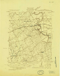
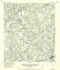
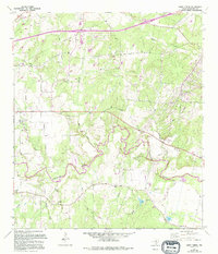
Editions of this 1925 New Braunfels No 1 Map
This is the sole edition of this map. No revisions or reprints were ever made.
Historical Maps of New Braunfels Through Time
36 maps found
1924 New Braunfels No 4
Guadalupe County, TX
1924 San Marcos 3-c
Guadalupe County, TX
1924 San Marcos 3-d
Guadalupe County, TX
1925 New Braunfels No 1
Guadalupe County, TX
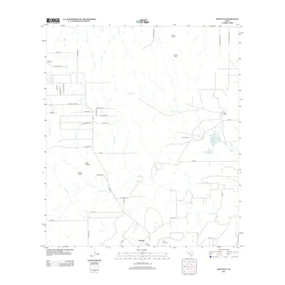
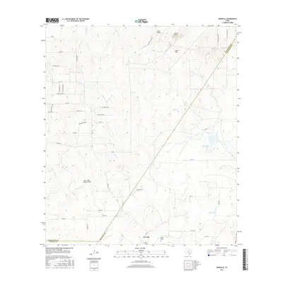
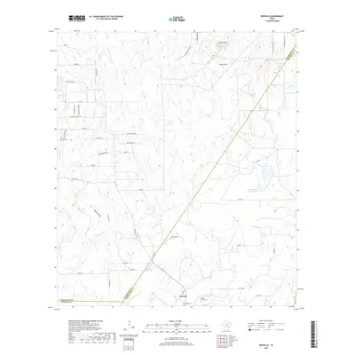
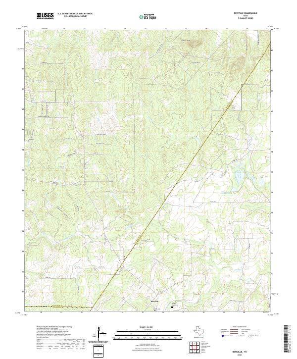
1942 Dewville
Guadalupe County, TX
1956 Dewville
Guadalupe County, TX
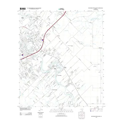
1958 New Braunfels East
Guadalupe County, TX
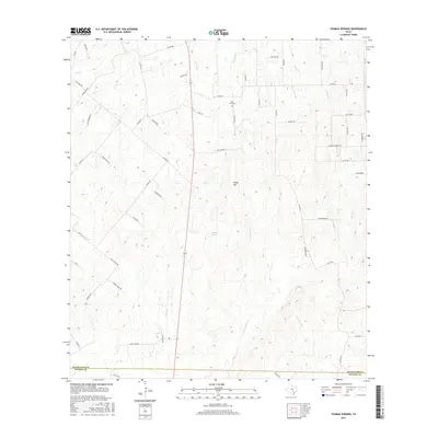
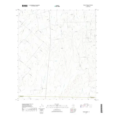
1961 Thomas Springs
Guadalupe County, TX
1962 Dewville
Guadalupe County, TX
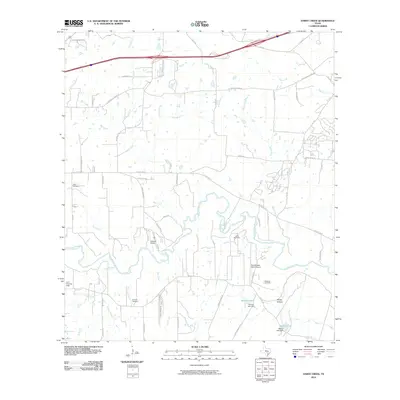
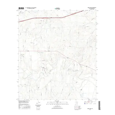
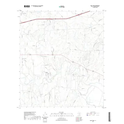
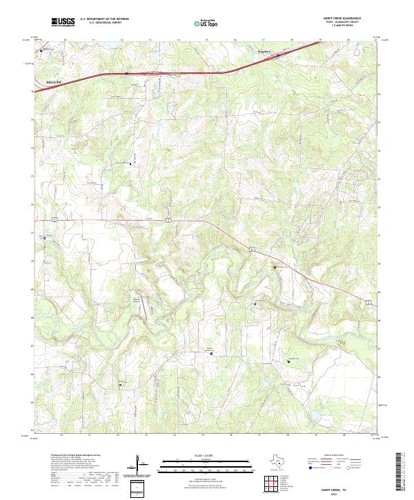
1964 Darst Creek
Guadalupe County, TX
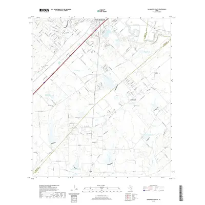
1964 San Marcos South
Guadalupe County, TX
2010 Darst Creek
Guadalupe County, TX
2010 Dewville
Guadalupe County, TX
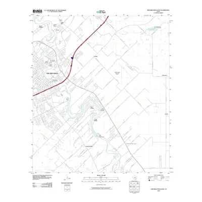
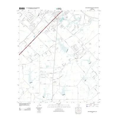
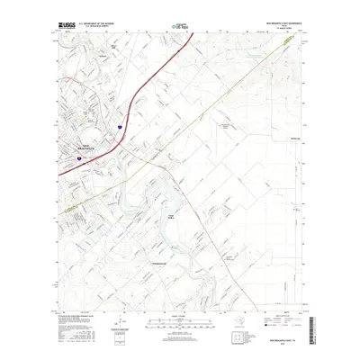
2010 New Braunfels East
Guadalupe County, TX
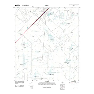
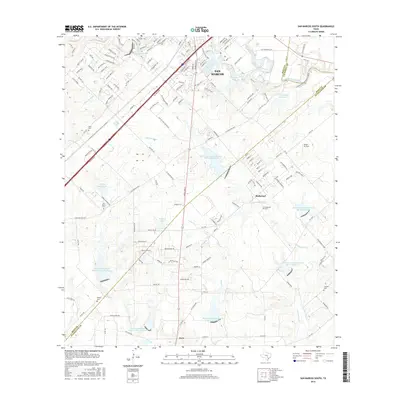
2010 San Marcos South
Guadalupe County, TX
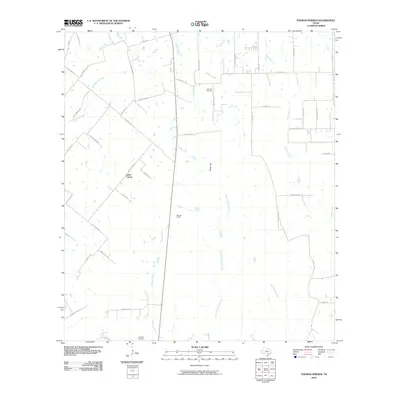
2010 Thomas Springs
Guadalupe County, TX
2013 Darst Creek
Guadalupe County, TX
2013 Dewville
Guadalupe County, TX
2013 New Braunfels East
Guadalupe County, TX
2013 San Marcos South
Guadalupe County, TX

2013 Thomas Springs
Guadalupe County, TX
2016 Darst Creek
Guadalupe County, TX
2016 Dewville
Guadalupe County, TX
2016 New Braunfels East
Guadalupe County, TX
2016 San Marcos South
Guadalupe County, TX
2016 Thomas Springs
Guadalupe County, TX
2019 Darst Creek
Guadalupe County, TX
2019 Dewville
Guadalupe County, TX
2019 New Braunfels East
Guadalupe County, TX
2019 San Marcos South
Guadalupe County, TX
2019 Thomas Springs
Guadalupe County, TX
2022 Darst Creek
Guadalupe County, TX
2022 Dewville
Guadalupe County, TX
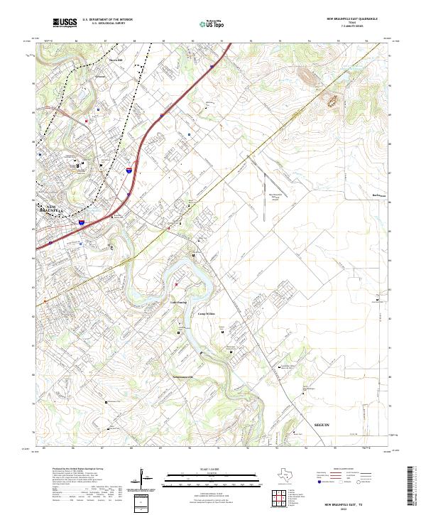
2022 New Braunfels East
Guadalupe County, TX
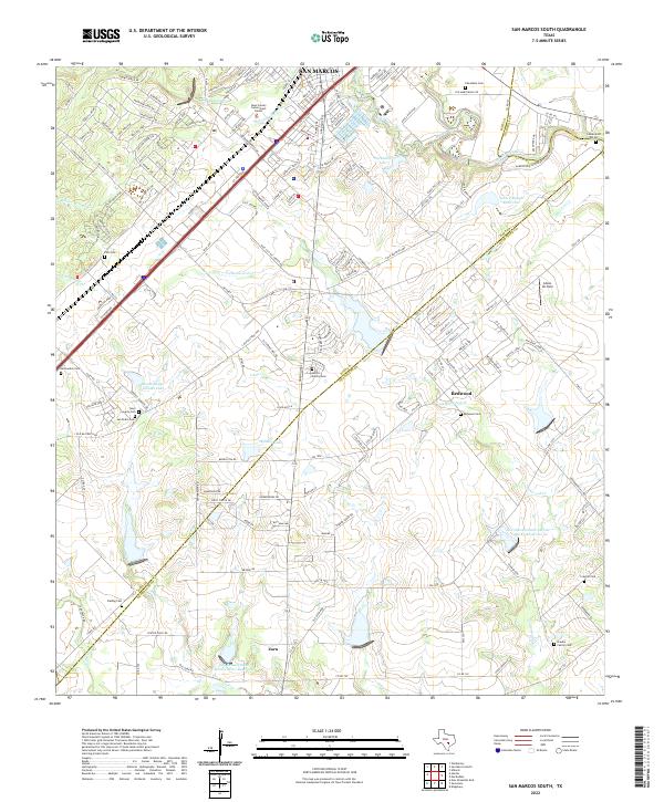
2022 San Marcos South
Guadalupe County, TX
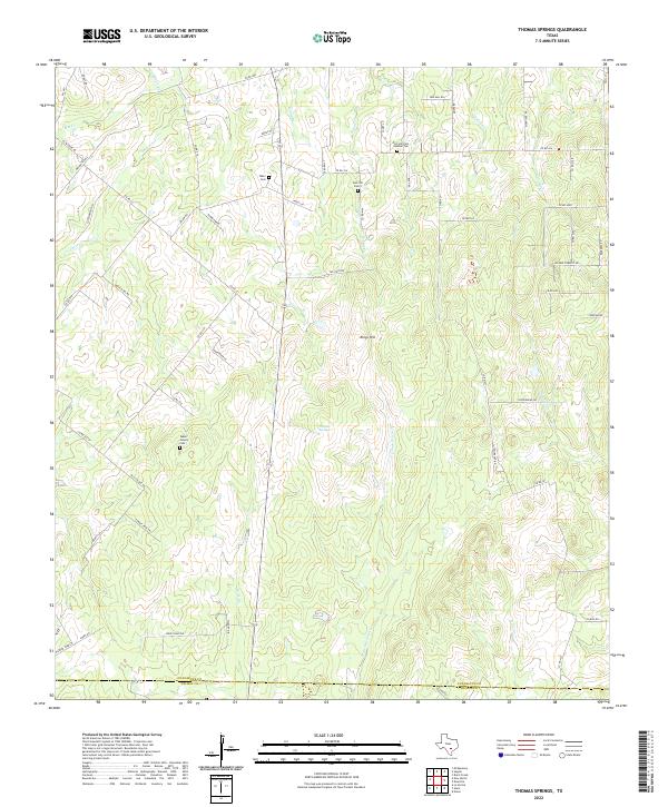
2022 Thomas Springs
Guadalupe County, TX