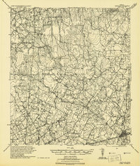
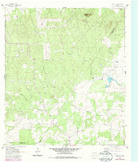
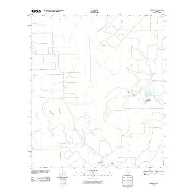
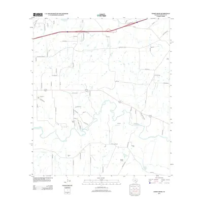
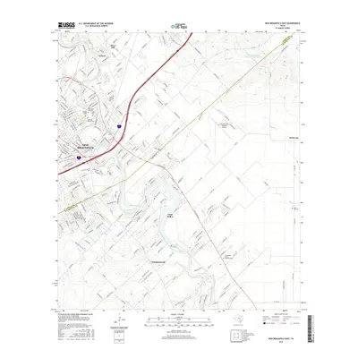
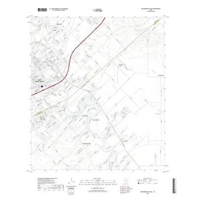
1924 Map of New Braunfels No 4
USGS Topo · Published 1924About this map
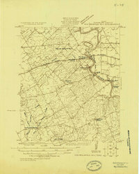
The Guadalupe River meanders through this portion of Guadalupe County, serving as the central artery for local industry and education during the mid-1920s. Along the river's banks, the Brick Plant and the community of Nolte stand near the Nolte Spur, illustrating the connection between industrial production and rail transport. To the east, the campus of Gaudalupe College overlooks the water near Morrison Falls, marking a significant cultural landmark for the region.
Find a feature on this map
19 named features on this map. Tap any name to fly to it.
Don’t see what you’re looking for? This feature index may not catch every label — zoom into the map to look around manually.
Map Details
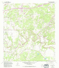
Editions of this 1924 New Braunfels No 4 Map
This is the sole edition of this map. No revisions or reprints were ever made.
Historical Maps of Seguin Through Time
36 maps found
1924 New Braunfels No 4
Guadalupe County, TX
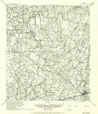
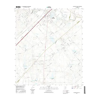
1924 San Marcos 3-c
Guadalupe County, TX
1924 San Marcos 3-d
Guadalupe County, TX
1925 New Braunfels No 1
Guadalupe County, TX
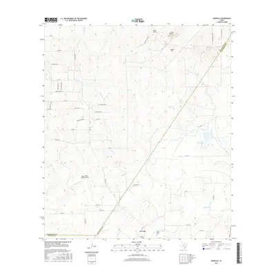
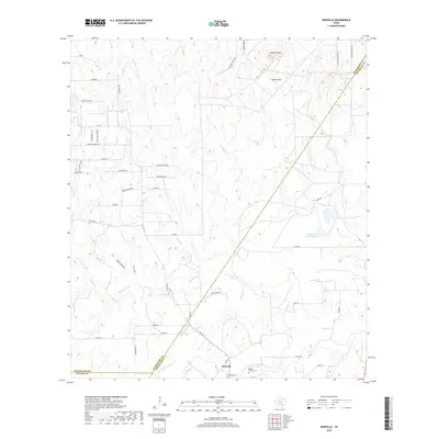
1942 Dewville
Guadalupe County, TX
1956 Dewville
Guadalupe County, TX
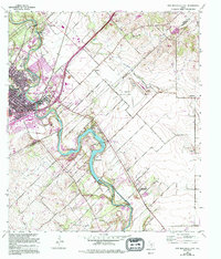
1958 New Braunfels East
Guadalupe County, TX
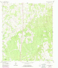
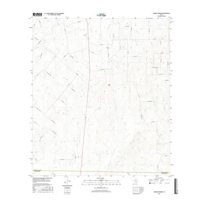
1961 Thomas Springs
Guadalupe County, TX
1962 Dewville
Guadalupe County, TX
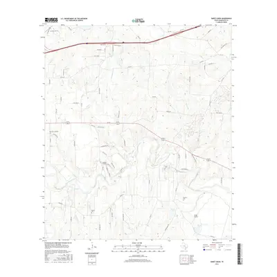
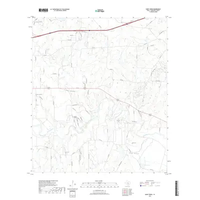
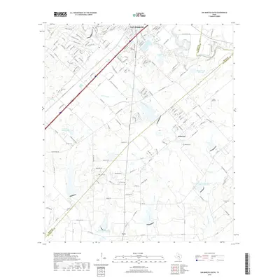
1964 Darst Creek
Guadalupe County, TX
1964 San Marcos South
Guadalupe County, TX
2010 Darst Creek
Guadalupe County, TX
2010 Dewville
Guadalupe County, TX
2010 New Braunfels East
Guadalupe County, TX
2010 San Marcos South
Guadalupe County, TX
2010 Thomas Springs
Guadalupe County, TX
2013 Darst Creek
Guadalupe County, TX
2013 Dewville
Guadalupe County, TX
2013 New Braunfels East
Guadalupe County, TX
2013 San Marcos South
Guadalupe County, TX

2013 Thomas Springs
Guadalupe County, TX
2016 Darst Creek
Guadalupe County, TX
2016 Dewville
Guadalupe County, TX
2016 New Braunfels East
Guadalupe County, TX
2016 San Marcos South
Guadalupe County, TX
2016 Thomas Springs
Guadalupe County, TX
2019 Darst Creek
Guadalupe County, TX
2019 Dewville
Guadalupe County, TX
2019 New Braunfels East
Guadalupe County, TX
2019 San Marcos South
Guadalupe County, TX
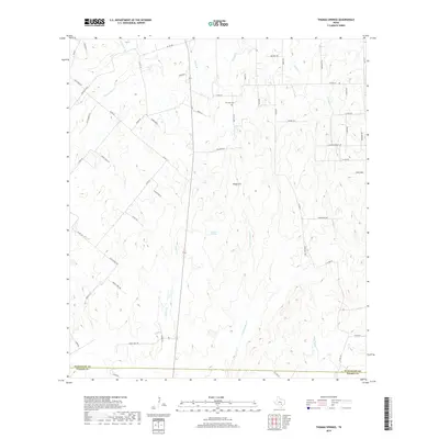
2019 Thomas Springs
Guadalupe County, TX
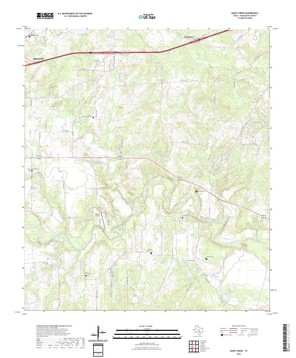
2022 Darst Creek
Guadalupe County, TX
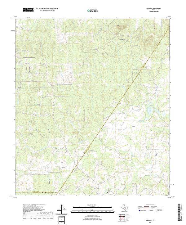
2022 Dewville
Guadalupe County, TX
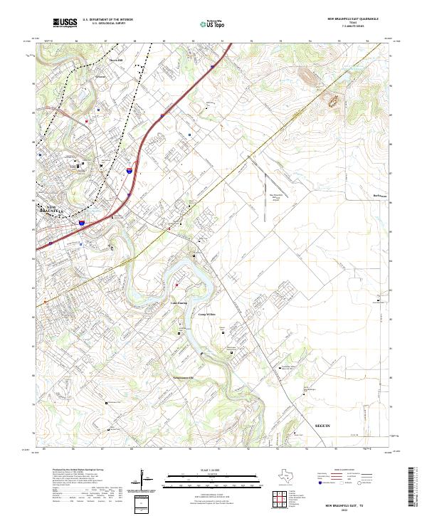
2022 New Braunfels East
Guadalupe County, TX
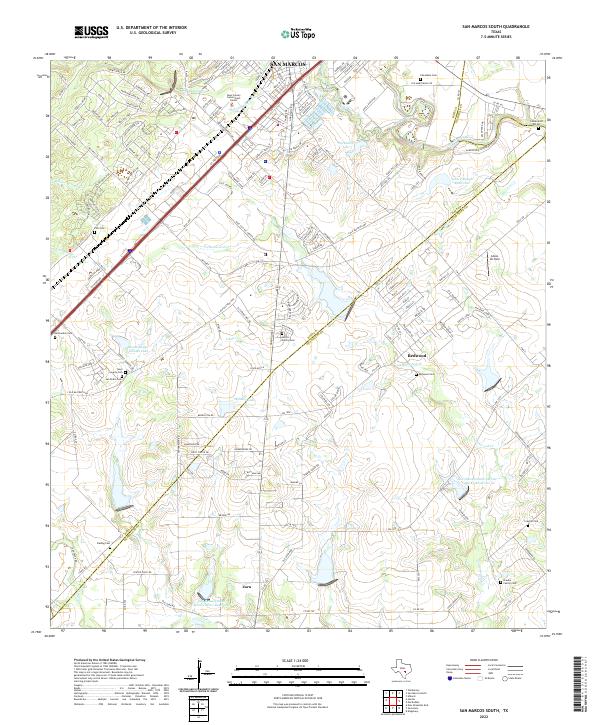
2022 San Marcos South
Guadalupe County, TX
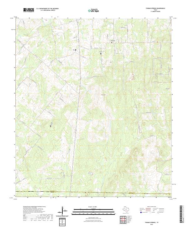
2022 Thomas Springs
Guadalupe County, TX