Old Maps of New Berlin, Texas
Explore 26 old maps of New Berlin, spanning from 1924 to today. These high-resolution historic maps reveal how streets, neighborhoods, landmarks, and natural features evolved over time — perfect for genealogy, metal detecting, research, and local history exploration.
What you can do with these maps:
- See how New Berlin changed over time: Compare historical maps to modern-day views to trace roads, homesites, rail lines & more.
- View detailed metadata: Each map includes creators, publishers, year, scale, and archive source.
- Overlay maps with satellite & LiDAR: Visualize the past alongside modern tools to explore terrain & human change.
- Trusted historical sources: Maps sourced from the USGS, Library of Congress, and other archives.
- Access maps your way: View online, download high-res files, or order prints for personal or research use.
Start exploring old maps of New Berlin to uncover forgotten places, hidden landmarks, and the deep history beneath your feet.
New Berlin, TX maps
(26)- 1924 Map of New Braunfels No 4
 1924 New Braunfels No 41924 Print · USGSGuadalupe County in the mid-1920s shows a landscape of river-driven industry and rural schoolhouses. Genealogists and local historians can trace family roots through landmarks like Gaudalupe College or rural hubs such as Mc Queeny and Scheffel School.
 - 1927 Map of New Braunfels
 1927 New Braunfels1927 Print · USGSNew Braunfels and the surrounding river valleys are captured here during the mid-twenties, when the regional rail and school networks were at their peak. Genealogists and historians can trace family locations near landmarks like Gaudalupe College, Hortontown Cemetery, and dozens of rural schoolhouses like Austin Hill School.3 unique versions available
 - 1954 Map of San Antonio, 1964 Print
 1954 San Antonio1964 Print · USGSSan Antonio and the Texas Hill Country are captured here in the mid-fifties, showing a landscape defined by massive military air bases and the rising Canyon Reservoir. Trace family ties through historic rail towns like D'Hanis and Castroville or explore the Cold War footprint of Lackland AFB and Randolph AFB.3 unique versions available
 - 1957 Map of San Antonio
 1957 San Antonio1957 Print · USGSSan Antonio and the Texas Hill Country are shown here during the mid-fifties, capturing the region's expanding post-war military and transportation footprint. Genealogists and local historians can trace the early residential boundaries of Alamo Heights or locate rural landmarks like St Hedwig and Medina Lake.
 - 1957 Map of New Berlin, 1961 Print
 1957 New Berlin1961 Print · USGSGuadalupe County rural life in the late fifties was a mix of quiet farming communities and active oil exploration. Genealogists can locate family landmarks like the Sweet Home Sch, Linne Cem, and the settlement of New Berlin before modern development.2 unique versions available
 - 1958 Map of Saint Hedwig, 1961 Print
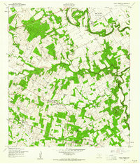 1958 Saint Hedwig1961 Print · USGSEast of San Antonio in the late fifties, this area shows the meeting point of Bexar, Guadalupe, and Wilson counties. Trace the rural landscape through Saint Hedwig and Zuehl, locating family landmarks like Goebel Sch and Hebron Ch.2 unique versions available
 - 1958 Map of McQueeney, 1961 Print
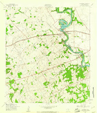 1958 McQueeney1961 Print · USGSThe Guadalupe River and its late-1950s recreational landscape take center stage in this Texas survey. Trace the early development of Lake Mc Queeney, the SOUTHERN PACIFIC railroad line, and old settlements like Muehlsville and Santa Clara.3 unique versions available
 - 1985 Map of New Braunfels
 1985 New Braunfels1985 Print · USGSThe Texas Hill Country meets the growing San Antonio suburbs in the mid-1980s, showing a landscape of river-fed towns and military grounds. Trace family roots in historic Gruene or Boerne, and locate landmarks like Canyon Lake and Randolph Air Force Base.
 - 1985 Map of San Antonio
 1985 San Antonio1985 Print · USGSSan Antonio and its surrounding hill country are captured in the mid-eighties during a period of significant suburban and military expansion. Genealogists and historians can trace the footprint of Kelly Air Force Base, old rail lines like the Missouri-Kansas-Texas, and smaller communities like Saspamco or Zuehl.3 unique versions available
 - 1992 Map of New Braunfels
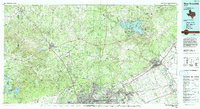 1992 New Braunfels1992 Print · USGSThe San Antonio and New Braunfels corridor was expanding rapidly in the early nineties, balancing heavy military presence with Hill Country recreation. Trace the footprint of CAMP BULLIS MILITARY RESERVATION or locate old railroad stops along the Southern Pacific and Missouri Pacific lines.2 unique versions available
 - 1992 Map of Saint Hedwig
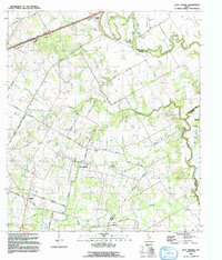 1992 Saint Hedwig1992 Print · USGSBexar County's rural eastern edge is documented in the early nineties, showing a landscape of creek-side settlements and legacy rail lines. Researchers can trace historic family routes along Graytown Road or locate landmarks like Hebron Ch and Sculls Crossing (Ford).
 - 2010 Map of McQueeney, 2010 Print
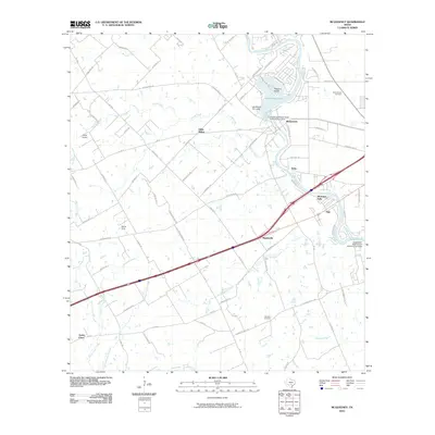 2010 McQueeney2010 Print · USGSThe Guadalupe River corridor in central Texas is captured here during a period of modern residential and recreational growth. Researchers can trace family history at the Santo Tomas Cemetery or locate old community hubs like Hilda Siding and Muehlsville.
 - 2010 Map of New Berlin, 2010 Print
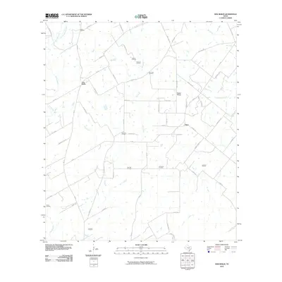 2010 New Berlin2010 Print · USGSThe rural landscape of Guadalupe County is shown here in the early twenty-first century, centered on the community of New Berlin. Genealogists will find an incredible concentration of burial sites to trace, from Linne Cemetery to the uniquely named Concrete Cemetery.
 - 2010 Map of Saint Hedwig, 2010 Print
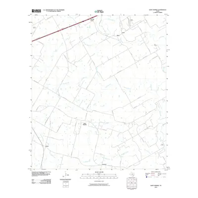 2010 Saint Hedwig2010 Print · USGSBexar County's eastern reaches are shown here in the early twenty-first century as rural communities and aviation hubs expand. Genealogists and local historians can trace family land along Cibolo Creek and locate landmarks like Saint Hedwig and Kempin Cemetery.
 - 2013 Map of McQueeney, 2013 Print
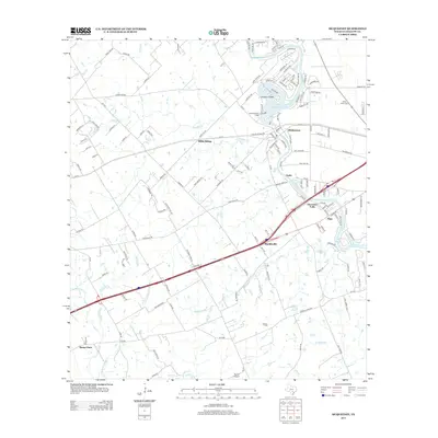 2013 McQueeney2013 Print · USGSGuadalupe County in the early twenty-first century reveals a landscape where recreation and transport intersect along the river. Genealogists and historians can trace the foundations of McQueeney and Santa Clara, and locate local landmarks such as Santa Tomas Cem and Hilda Siding.
 - 2013 Map of Saint Hedwig, 2013 Print
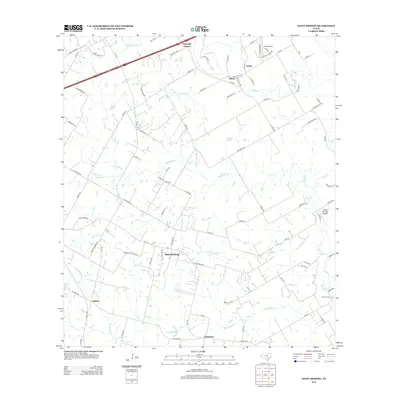 2013 Saint Hedwig2013 Print · USGSCovers New Berlin, including San Antonio, Schertz, and other nearby areas
 - 2013 Map of New Berlin, 2013 Print
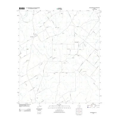 2013 New Berlin2013 Print · USGSGuadalupe County landholdings and rural settlements come into focus in this recent survey of the Texas countryside. Genealogists can trace family heritage through numerous sites like Schmidt Cem and Concrete Cem near New Berlin.
 - 2016 Map of McQueeney, 2016 Print
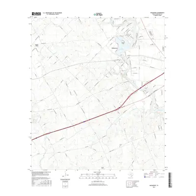 2016 McQueeney2016 Print · USGSGuadalupe County is shown here in the mid-2010s, capturing the balance between riverside communities and Texas ranch land. You can trace family roots at Santo Tomas Cem or explore the development of Treasure Island and McQueeney along the river.
 - 2016 Map of New Berlin, 2016 Print
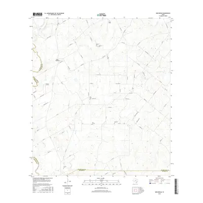 2016 New Berlin2016 Print · USGSNew Berlin and its surrounding ranchlands are captured here in the mid-2010s, showing a landscape defined by creeks and country roads. Genealogists can trace local heritage through numerous burial sites like Oak Creek Cem, Achterburg Cem, and Concrete Cem.
 - 2016 Map of Saint Hedwig, 2016 Print
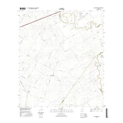 2016 Saint Hedwig2016 Print · USGSBexar and Guadalupe counties meet in this 2010s landscape where rural roots and small-town settlements endure. Genealogists and local historians can trace the paths between Saint Hedwig, Zuehl, and Adkins while exploring landmarks like Martinez Springs.
 - 2019 Map of McQueeney, 2019 Print
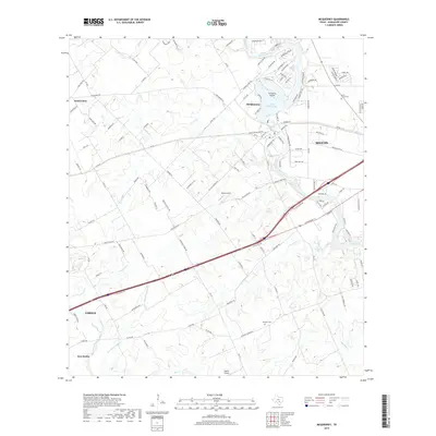 2019 McQueeney2019 Print · USGSThe riverfront communities of Guadalupe County are captured here during a period of modern expansion. Genealogists and local researchers can locate family sites at Santo Tomas Cem or trace the development of Treasure Island and the Lake McQueeney shoreline.
 - 2019 Map of Saint Hedwig, 2019 Print
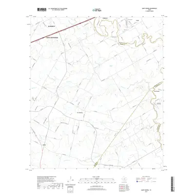 2019 Saint Hedwig2019 Print · USGSThe area east of San Antonio and Schertz is captured in the late 2010s as it transitions from historic farmsteads to rural-suburban plots. Genealogists can trace the roads around St. Hedwig, Adkins, and Martinez Springs near the Cibolo Creek.
 - 2019 Map of New Berlin, 2019 Print
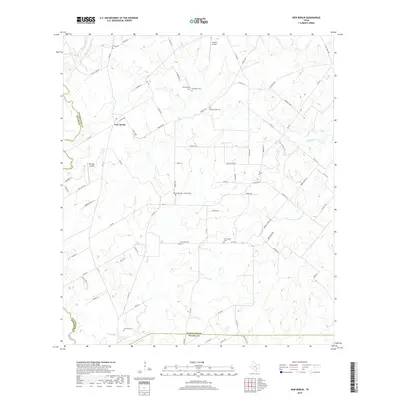 2019 New Berlin2019 Print · USGSThe rural stretches of Guadalupe County come into focus during the late twenty-tens, centered on the community of New Berlin. Genealogists and local historians can trace the paths of Santa Clara Cr and Dry Santa Clara Cr through this agricultural landscape.
 - 2022 Map of Saint Hedwig, 2022 Print
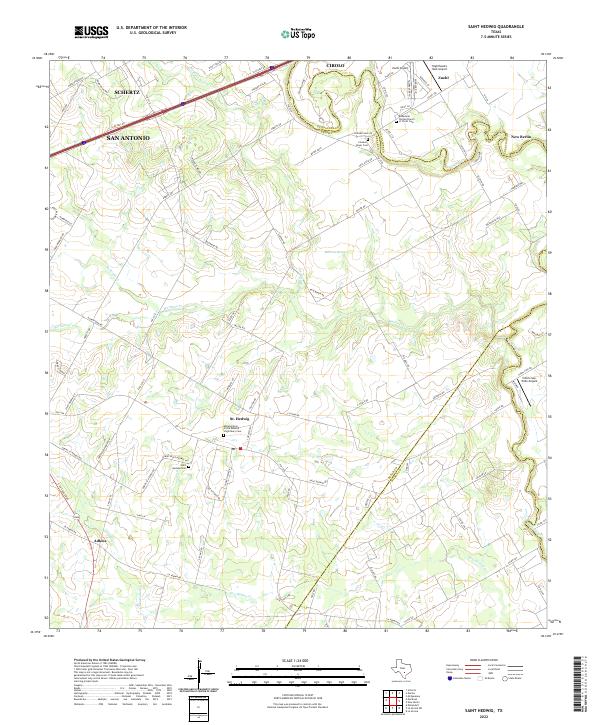 2022 Saint Hedwig2022 Print · USGSThe rolling country east of San Antonio is captured here in the early 2020s, showing a landscape of rural family roads and old parish centers. Genealogists can locate Saint Hedwig Cem and Classen Beyer Cem along the creek bottoms.
 - 2022 Map of New Berlin, 2022 Print
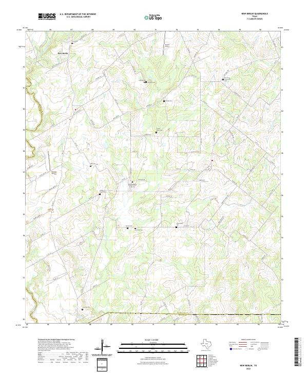 2022 New Berlin2022 Print · USGSThe community of New Berlin and its surrounding family farmsteads are captured here in the early twenty-first century. Researchers can locate many local landmarks like Sweet Home Cem, Buelah Airport, and Linne Cem.
Showing maps 1-25 of 26
Top cities near New Berlin
- San Antonio historical maps
- New Braunfels historical maps
- Schertz historical maps
- Seguin historical maps
- Universal City historical maps
- Converse historical maps
See more
Frequently asked questions
- What are the different types of historical maps available for New Berlin?
- What is the oldest map of New Berlin?
- Where can I purchase historical maps of New Berlin for my home or office?
- Where can I download high-res historical maps of New Berlin?
- Are there historical topographic maps available for New Berlin?
- Is there historical aerial imagery available for New Berlin?
- Where are historical maps of New Berlin sourced from?