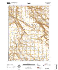
2020 Map of Meadow Lake
USGS Topo · Published 2020About this map
Meadow Lake and the surrounding high desert of Harney County are defined by a network of seasonal water sources and expansive basins. The landscape is marked by numerous small, isolated catchments such as Moon Lake, Deep Lake, and Green Lake, which dot the terrain between the elevations of the Steens Mountain foothills. Notable topographic depressions like Robinson Valley and Foster Flat indicate the drainage patterns of this arid region, where water management is historically represented by the Alex Spring Reservoir. The presence of Deadmans Bedground suggests the area's legacy of livestock trailing and range management, while Buzzard Canyon and its associated Buzzard Spring provide vital landmarks in an otherwise open and subtle landscape. This survey captures the essential hydrography of the Great Basin, where even minor springs and seasonal lakes dictate the utility of the land.
Find a feature on this map
21 named features on this map. Tap any name to fly to it.
Don’t see what you’re looking for? This feature index may not catch every label — zoom into the map to look around manually.
Map Details
Editions of this 2020 Meadow Lake Map
This is the sole edition of this map. No revisions or reprints were ever made.
Other maps of this area

1955 · Burns
USGS Topo · 1:250,000

1955 · Adel
USGS Topo · 1:250,000

1957 · Adel
USGS Topo · 1:250,000

1958 · Burns
USGS Topo · 1:250,000

1958 · Adel
USGS Topo · 1:250,000

1959 · Burns
USGS Topo · 1:250,000

1962 · Adel
USGS Topo · 1:250,000

1971 · Clover Swale
USGS Topo · 1:24,000
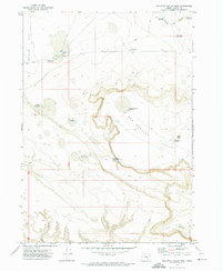
1971 · Keg Sprs Valley West
USGS Topo · 1:24,000
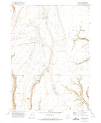
1971 · Balls Lake
USGS Topo · 1:24,000