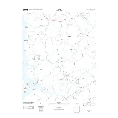
2013 Map of Meadow
USGS Topo · Published 2013About this map
Greenback and the surrounding agricultural hamlets of Loudon County characterize this landscape along the eastern reaches of Tellico Lake. The map details a transition from the historic river landings of the Little Tennessee River to the modern reservoir system, as evidenced by names like Morganton Ferry and Davis Ferry. Further inland, the terrain is marked by prominent ridges such as the Red Knobs and Lotterdale Knob, which overlook a network of small creeks including Sinking Cr and Cloyd Cr.
Find a feature on this map
157 named features on this map. Tap any name to fly to it.
Don’t see what you’re looking for? This feature index may not catch every label — zoom into the map to look around manually.
Map Details
Editions of this 2013 Meadow Map
This is the sole edition of this map. No revisions or reprints were ever made.
Other maps of this area

1895 · Loudon
USGS Topo · 1:125,000

1935 · Binfield
USGS Topo · 1:24,000

1935 · Meadow
USGS Topo · 1:24,000

1935 · Lenoir City
USGS Topo · 1:24,000
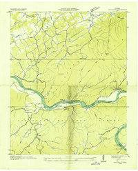
1935 · Tallassee
USGS Topo · 1:24,000
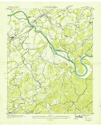
1935 · Vonore
USGS Topo · 1:24,000
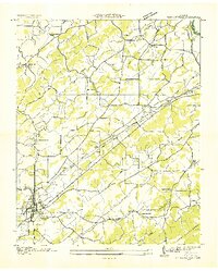
1936 · Madisonville
USGS Topo · 1:24,000

1936 · Louisville
USGS Topo · 1:24,000

1936 · Friendship
USGS Topo · 1:48,000

1936 · Loudon
USGS Topo · 1:24,000