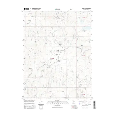
2015 Map of Meadow Valley
USGS Topo · Published 2015About this map
Spanish Ranch and the nearby settlement of Meadow Valley anchor this portion of the Plumas National Forest. The landscape is defined by its industrial and recreational history, where the Claremont Chrome site sits amidst a complex network of forest access points like Spanish Cabin Spur and Old Mill Spur C. The southwestern corner is crossed by the Pacific Crest National Scenic Trail, winding through high-elevation terrain near Spanish Peak and Bucks Summit.
Find a feature on this map
73 named features on this map. Tap any name to fly to it.
Don’t see what you’re looking for? This feature index may not catch every label — zoom into the map to look around manually.
Map Details
Editions of this 2015 Meadow Valley Map
This is the sole edition of this map. No revisions or reprints were ever made.
Other maps of this area

1886 · Honey Lake
USGS Topo · 1:250,000

1886 · Lassen Peak
USGS Topo · 1:250,000

1888 · Bidwell Bar
USGS Topo · 1:125,000

1891 · Bidwell Bar
USGS Topo · 1:125,000

1891 · Downieville
USGS Topo · 1:125,000

1891 · Honey Lake
USGS Topo · 1:250,000

1892 · Lassen Peak
USGS Topo · 1:250,000

1893 · Bidwell Bar
USGS Topo · 1:125,000

1893 · Honey Lake
USGS Topo · 1:250,000

1893 · Downieville
USGS Topo · 1:125,000