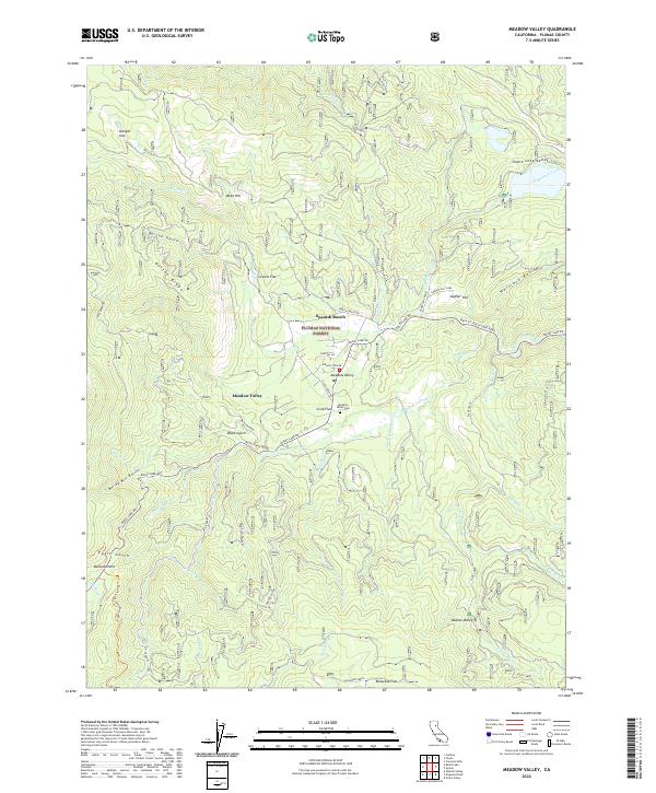
2022 Map of Meadow Valley
USGS Topo · Published 2022About this map
Spanish Ranch and the small settlement of Meadow Valley anchor this mountainous landscape within the Plumas National Forest. The local topography is defined by sharp transitions from high points like Bucks Summit to deep drainages like Spanish Creek and Slate Creek. Local history is preserved at the Meadow Valley Cemetery and across various timber-and-mining era flats, including Grub Flat, Greens Flat, and Tamarack Flat. The western edge of the sheet is traversed by the Pacific Crest National Scenic Trail, winding through a network of creeks such as Bucks Creek and Clear Creek. The area’s varied relief is further evidenced by landmarks like the Mulligan Slide and Burton Ridge, reflecting the complex geography of the Plumas County mountains in the early twenty-first century.
Find a feature on this map
57 named features on this map. Tap any name to fly to it.
Don’t see what you’re looking for? This feature index may not catch every label — zoom into the map to look around manually.
Map Details
Editions of this 2022 Meadow Valley Map
This is the sole edition of this map. No revisions or reprints were ever made.
Other maps of this area

1886 · Honey Lake
USGS Topo · 1:250,000

1886 · Lassen Peak
USGS Topo · 1:250,000

1888 · Bidwell Bar
USGS Topo · 1:125,000

1891 · Bidwell Bar
USGS Topo · 1:125,000

1891 · Downieville
USGS Topo · 1:125,000

1891 · Honey Lake
USGS Topo · 1:250,000

1892 · Lassen Peak
USGS Topo · 1:250,000

1893 · Bidwell Bar
USGS Topo · 1:125,000

1893 · Honey Lake
USGS Topo · 1:250,000

1893 · Downieville
USGS Topo · 1:125,000