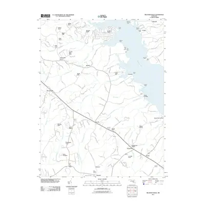
2011 Map of Mechanicsville
USGS Topo · Published 2011About this map
The Patuxent River shoreline defines this portion of Saint Mary's County, where numerous wharves like Trent Hall Wharf and Dukes Wharf once served as vital links for the regional water-based economy. Inland, the landscape is characterized by a high density of named residential developments and estates such as Golden Beach, Cooney Neck Estate, and Burning Oaks, which intermingle with older agricultural settlements like Mechanicsville and Morganza.
Find a feature on this map
173 named features on this map. Tap any name to fly to it.
Don’t see what you’re looking for? This feature index may not catch every label — zoom into the map to look around manually.
Map Details
Editions of this 2011 Mechanicsville Map
This is the sole edition of this map. No revisions or reprints were ever made.
Other maps of this area

1892 · Leonardtown
USGS Topo · 1:62,500

1892 · Prince Frederick
USGS Topo · 1:62,500

1892 · Brandywine
USGS Topo · 1:62,500

1894 · Wicomico
USGS Topo · 1:62,500

1895 · Prince Frederick
USGS Topo · 1:62,500

1895 · Wicomico
USGS Topo · 1:62,500

1895 · Brandywine
USGS Topo · 1:62,500

1895 · Leonardtown
USGS Topo · 1:62,500

1895 · Nomini
USGS Topo · 1:125,000

1898 · Nomini
USGS Topo · 1:125,000